Transport Functions
Rail
Road
Multimodal
Hub Profile
Region
44
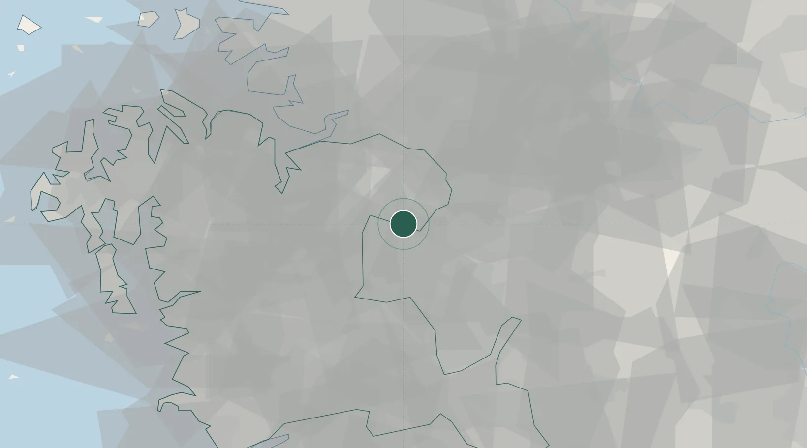
Location
Nearby Logistics Neighbours
Cities
- 1Osong13 km
- 2Cheonan18 km
- 3Chungju19 km
- 4Yeongi-gun20 km
- 5Cheongwon-gun21 km
Ports
- 1Pyeongtaek Hang51 km
- 2Daesan Hang81 km
- 3Kunsan92 km
- 4Inchon103 km
- 5Mukho197 km
Airports
Trade Zones
DatabookThe Record of Consolidated Knowledge
South Korea beyond logistics?