Transport Functions
Rail
Road
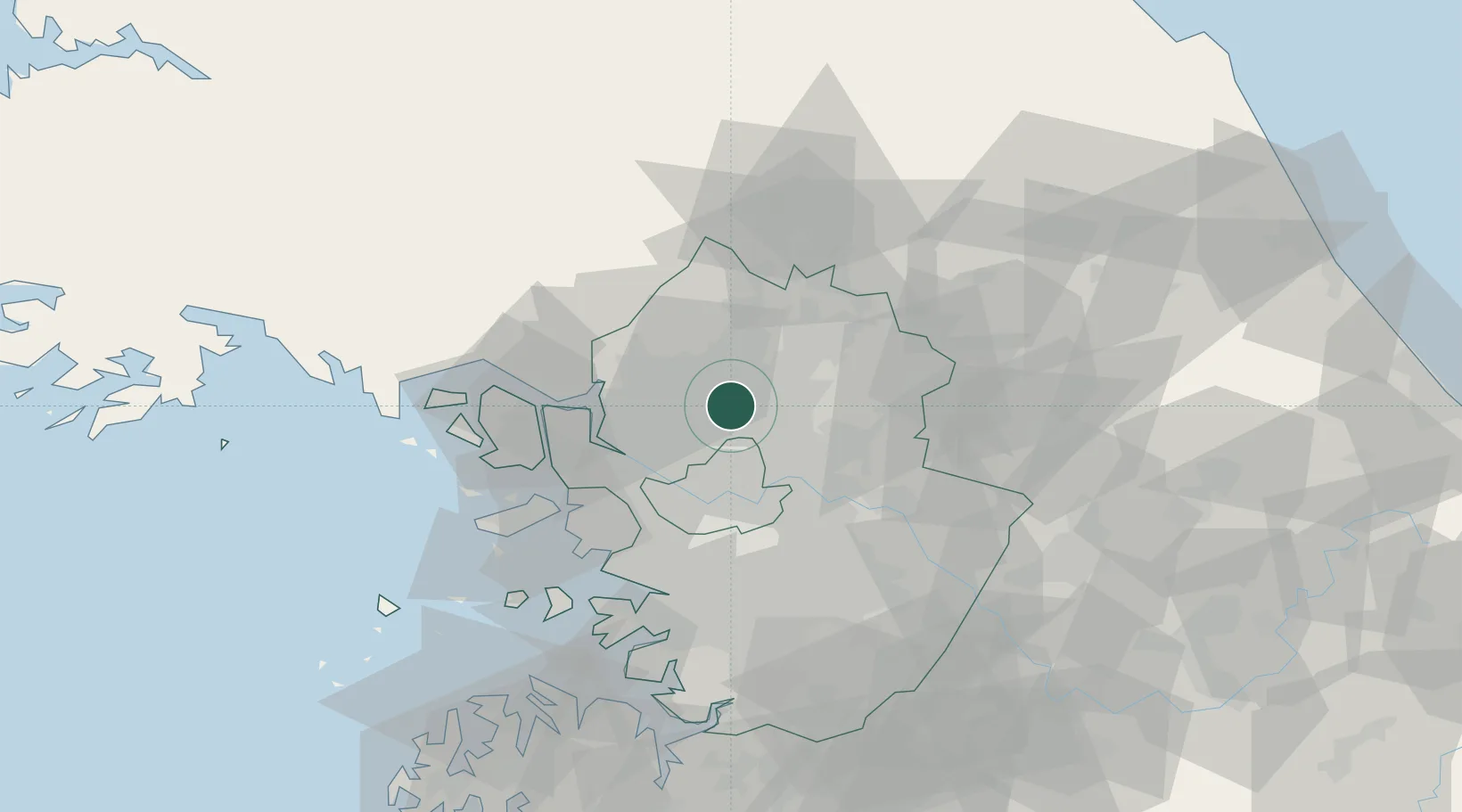
Hub Profile
Place type
Populated place
Region
Gyeonggi-do
Population
179,923
Time zone
Asia/Seoul
Elevation
76 m
Location
Nearby Logistics Neighbours
Cities
- 1Uijeongbu4 km
- 2Namyangju21 km
- 3Guri22 km
- 4Goyang23 km
- 5Dorasan/Paju24 km
Ports
- 1Inchon50 km
- 2Pyeongtaek Hang88 km
- 3Daesan Hang100 km
- 4Haeju Hang120 km
- 5Sokch'o Hang146 km
Airports
- 1Gimpo International Airport32 km
- 2Seoul Air Base (K-16)37 km
- 3Suwon Airport59 km
- 4Incheon International Airport61 km
- 5Osan Air Base75 km
DatabookThe Record of Consolidated Knowledge
South Korea beyond logistics?