UN/LOCODE hub · South Korea
KRUIJ

Uijeongbu

37.7333°, 127.0500°
2
Transport functions

Transport Functions

Rail
Road
UN/LOCODE

Hub Profile

Region
41
GeoNames

Location

Location of KRUIJ
Natural Earth 10m (public domain) · 41 · KRUIJ · 37.73, 127.05GoogleOSMYandex

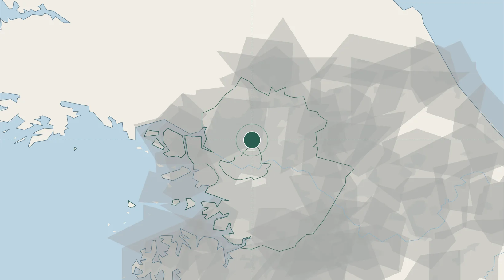
Nearby Logistics Neighbours

Cities
  1. 1Yangju4 km
  2. 2Namyangju17 km
  3. 3Guri18 km
  4. 4Goyang23 km
  5. 5Dorasan/Paju25 km
Nearest neighbours — logibook spatial index (haversine) over the source coordinates
Ports
  1. 1Inchon48 km
  2. 2Pyeongtaek Hang85 km
  3. 3Daesan Hang98 km
  4. 4Haeju Hang122 km
  5. 5Sokch'o Hang145 km
Nearest neighbours — logibook spatial index (haversine) over the source coordinates
Airports
  1. 1Gimpo International Airport30 km
  2. 2Seoul Air Base (K-16)33 km
  3. 3Suwon Airport55 km
  4. 4Incheon International Airport60 km
  5. 5Osan Air Base71 km
Nearest neighbours — logibook spatial index (haversine) over the source coordinates
Trade Zones
  1. 1Nam-myeon Industrial Complex In Yangju8 km
  2. 2Hongjuk Industrial Complex in Yangju11 km
  3. 3Geomjun General Industrial Complex16 km
  4. 4Godeok New International Industrial Complex20 km
  5. 5Dongducheon 2 Industrial Complex22 km
Nearest neighbours — logibook spatial index (haversine) over the source coordinates
DatabookThe Record of Consolidated Knowledge
South Korea beyond logistics?
Browse databook

All Sources

LocationsUN/LOCODE
UN/LOCODE — free
Portsthe NGA World Port Index
Public domain (US gov)
AirportsOurAirports
Public domain
Trade Zonesthe World Bank SEZ database
CC BY 4.0
Trade ZonesOpen Zone Map
CC BY
← South Korea locations