Industrial Complex · South Korea

Gwangju High-tech National Industrial Complex Active
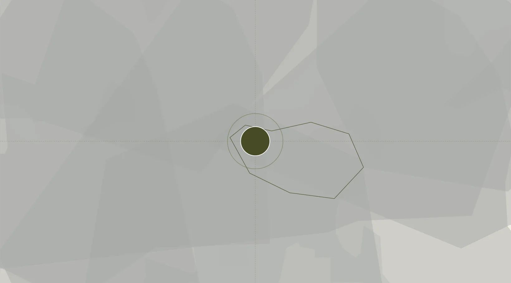
35.2289°, 126.8576°
793 ha
Zone area
65.7 km
Nearest port
12.7 km
Nearest airport

Gateway access

Nearest neighbours — logibook spatial index (haversine) over the source coordinates

Zone profile

Zone type
Industrial Complex
the World Bank SEZ database
Region
Gwangju
the World Bank SEZ database
Status
Active
the World Bank SEZ database
Established
1998
the World Bank SEZ database
Management
State-owned enterprise
the World Bank SEZ database
Operator
KICOX
the World Bank SEZ database
Regulatory authority
National, provincial or city-level governments
the World Bank SEZ database
Legal framework
Industrial Sites and Development Act, and the Industrial Placement and Factory Act
the World Bank SEZ database

Location

Location of KOR55
Natural Earth 10m (public domain) · Gwangju · KOR55 · 35.23, 126.86GoogleOSMYandex

Fiscal & incentives

Corporate tax
22%
the World Bank SEZ database
Tax relief
100% exempt
the World Bank SEZ database
Relief duration
5 years
the World Bank SEZ database
VAT
No exemption
the World Bank SEZ database
Import duty (inputs)
0% exempt
the World Bank SEZ database
Import duty (capex)
100% exempt
the World Bank SEZ database
Profit repatriation
No exemption
the World Bank SEZ database
Capital gains
No exemption
the World Bank SEZ database
Withholding tax
No exemption
the World Bank SEZ database
Min. investment
$30M
the World Bank SEZ database
Min. export
0%
the World Bank SEZ database
Employment incentive
Employment and training subsidies available to companies that newly employ 20 more individuals
the World Bank SEZ database
Developer incentive
No established framework
the World Bank SEZ database

Nearby Logistics Neighbours

Ports
  1. 1Mokpo66 km
  2. 2Kunsan87 km
  3. 3Gwangyang Hang89 km
  4. 4Masan155 km
  5. 5Chinae163 km
Nearest neighbours — logibook spatial index (haversine) over the source coordinates
Airports
  1. 1Gwangju Airport13 km
  2. 2Muan International Airport51 km
  3. 3Gunsan Airport / Gunsan Air Base78 km
  4. 4Yeosu Airport81 km
  5. 5Sacheon Airport / Sacheon Air Base112 km
Nearest neighbours — logibook spatial index (haversine) over the source coordinates
Cities
  1. 1Jangseong/Jangseong-gun10 km
  2. 2Gwangju12 km
  3. 3Damyang-gun15 km
  4. 4Hwasun-gun23 km
  5. 5Gochang-gun27 km
Nearest neighbours — logibook spatial index (haversine) over the source coordinates
Trade Zones
  1. 1Chumdan Science Industrial Complex 21 km
  2. 2Bonchon General Industrial Complex4 km
  3. 3Hanam 1-3 General Industrial Complex6 km
  4. 4Gwangju New Free Economic Zone6 km
  5. 5Jingok Industrial Complex (R&D Special zone)8 km
Nearest neighbours — logibook spatial index (haversine) over the source coordinates
DatabookThe Record of Consolidated Knowledge
South Korea beyond logistics?
Browse databook

All Sources

Trade Zonesthe World Bank SEZ database
CC BY 4.0
Portsthe NGA World Port Index
Public domain (US gov)
AirportsOurAirports
Public domain
LocationsUN/LOCODE
UN/LOCODE — free
← South Korea trade zones