UN/LOCODE hub · South Korea
KRGSE

Gokseong-gun

35.2667°, 127.2833°
2
Transport functions

Transport Functions

Rail
Road
UN/LOCODE

Hub Profile

Region
46
GeoNames

Location

Location of KRGSE
Natural Earth 10m (public domain) · 46 · KRGSE · 35.27, 127.28GoogleOSMYandex

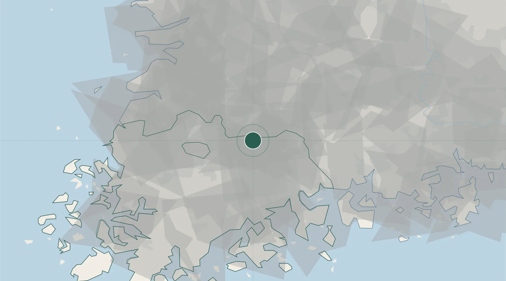
Nearby Logistics Neighbours

Cities
  1. 1Gurye-gun17 km
  2. 2Namwon17 km
  3. 3Damyang-gun28 km
  4. 4Hwasun-gun36 km
  5. 5Imsil-gun37 km
Nearest neighbours — logibook spatial index (haversine) over the source coordinates
Ports
  1. 1Gwangyang Hang58 km
  2. 2Mokpo98 km
  3. 3Kunsan100 km
  4. 4Masan117 km
  5. 5Chinae125 km
Nearest neighbours — logibook spatial index (haversine) over the source coordinates
Airports
  1. 1Gwangju Airport46 km
  2. 2Yeosu Airport56 km
  3. 3Sacheon Airport / Sacheon Air Base74 km
  4. 4Muan International Airport87 km
  5. 5Gunsan Airport / Gunsan Air Base93 km
Nearest neighbours — logibook spatial index (haversine) over the source coordinates
Trade Zones
  1. 1Bonchon General Industrial Complex37 km
  2. 2Chumdan Science Industrial Complex 239 km
  3. 3Gwangju High-tech National Industrial Complex39 km
  4. 4Songam Industrial Complex41 km
  5. 5Gwangju New Free Economic Zone44 km
Nearest neighbours — logibook spatial index (haversine) over the source coordinates
DatabookThe Record of Consolidated Knowledge
South Korea beyond logistics?
Browse databook

All Sources

LocationsUN/LOCODE
UN/LOCODE — free
Portsthe NGA World Port Index
Public domain (US gov)
AirportsOurAirports
Public domain
Trade Zonesthe World Bank SEZ database
CC BY 4.0
Trade ZonesOpen Zone Map
CC BY
← South Korea locations