UN/LOCODE hub · South Korea
KRGRE

Gurye-gun

35.2000°, 127.4500°
2
Transport functions

Transport Functions

Rail
Road
UN/LOCODE

Hub Profile

Region
46
GeoNames

Location

Location of KRGRE
Natural Earth 10m (public domain) · 46 · KRGRE · 35.20, 127.45GoogleOSMYandex

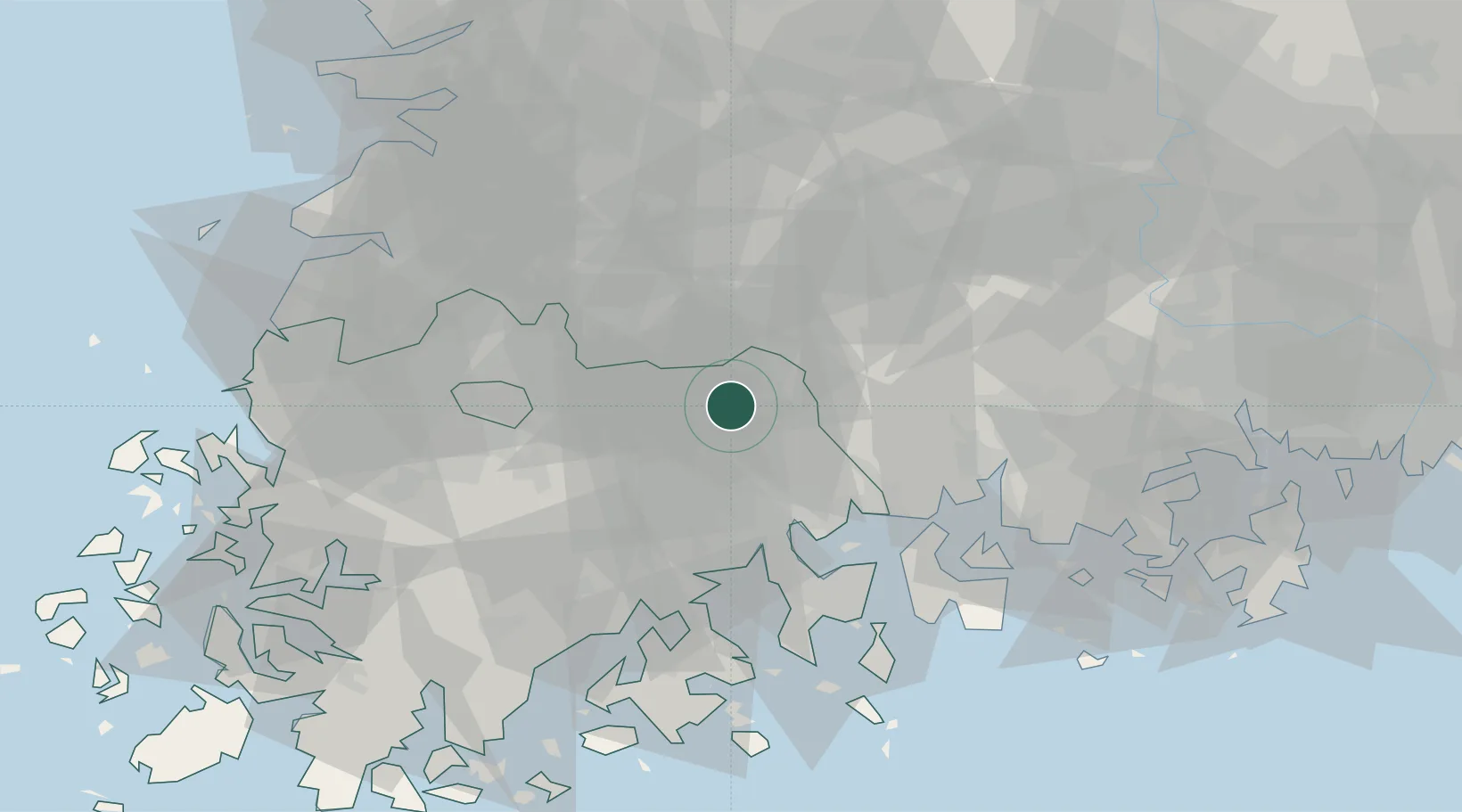
Nearby Logistics Neighbours

Cities
  1. 1Gokseong-gun17 km
  2. 2Namwon23 km
  3. 3Suncheon28 km
  4. 4Gwangyang38 km
  5. 5Hamyang-gun43 km
Nearest neighbours — logibook spatial index (haversine) over the source coordinates
Ports
  1. 1Gwangyang Hang42 km
  2. 2Masan102 km
  3. 3Mokpo108 km
  4. 4Chinae109 km
  5. 5Kunsan115 km
Nearest neighbours — logibook spatial index (haversine) over the source coordinates
Airports
  1. 1Yeosu Airport43 km
  2. 2Sacheon Airport / Sacheon Air Base58 km
  3. 3Gwangju Airport59 km
  4. 4Muan International Airport100 km
  5. 5Gunsan Airport / Gunsan Air Base109 km
Nearest neighbours — logibook spatial index (haversine) over the source coordinates
Trade Zones
  1. 1Sepung Industrial Complex32 km
  2. 2Gwangyang Bay Area Free Economic Zone34 km
  3. 3Haeryong Industrial Complex35 km
  4. 4Yulchon 1 General Industrial Complex36 km
  5. 5Hwanggeum Industrial Complex38 km
Nearest neighbours — logibook spatial index (haversine) over the source coordinates
DatabookThe Record of Consolidated Knowledge
South Korea beyond logistics?
Browse databook

All Sources

LocationsUN/LOCODE
UN/LOCODE — free
Portsthe NGA World Port Index
Public domain (US gov)
AirportsOurAirports
Public domain
Trade Zonesthe World Bank SEZ database
CC BY 4.0
Trade ZonesOpen Zone Map
CC BY
← South Korea locations