Diversified Zone · South Korea
Chumdan Science Industrial Complex 2 Active
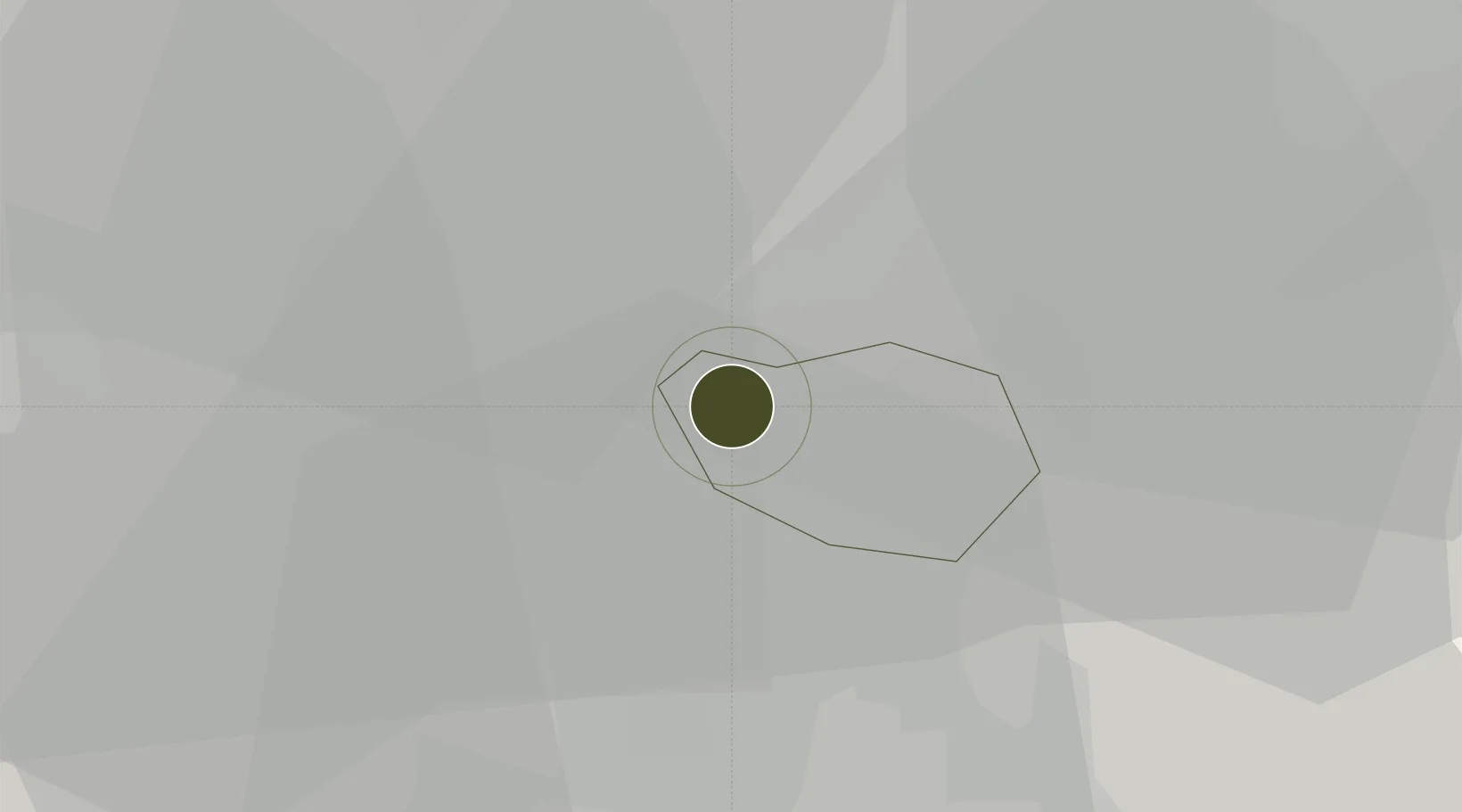
35.2243°, 126.8584°
206 ha
Zone area
65.4 km
Nearest port
12.2 km
Nearest airport
Gateway access
Zone profile
Zone type
Diversified Zone
Region
Gwangju
Status
Active
Management
Public
Operator
Gwangju and Jeonnam Regional Headquarters of the Korea Industrial Complex Corporation
Legal framework
Special Act On Designation And Management Of Free Economic Zones Expand Act No. 15309, Dec. 26, 2017, Foreign Investment Promotion Act: Expand Act No. 16131, Dec. 31, 2018.
Location
Nearby Logistics Neighbours
Ports
- 1Mokpo65 km
- 2Kunsan87 km
- 3Gwangyang Hang88 km
- 4Masan155 km
- 5Chinae163 km
Airports
- 1Gwangju Airport12 km
- 2Muan International Airport50 km
- 3Gunsan Airport / Gunsan Air Base79 km
- 4Yeosu Airport81 km
- 5Sacheon Airport / Sacheon Air Base111 km
Cities
- 1Jangseong/Jangseong-gun10 km
- 2Gwangju12 km
- 3Damyang-gun15 km
- 4Hwasun-gun23 km
- 5Naju26 km
DatabookThe Record of Consolidated Knowledge
South Korea beyond logistics?