Transport Functions
Rail
Road
Hub Profile
Region
43
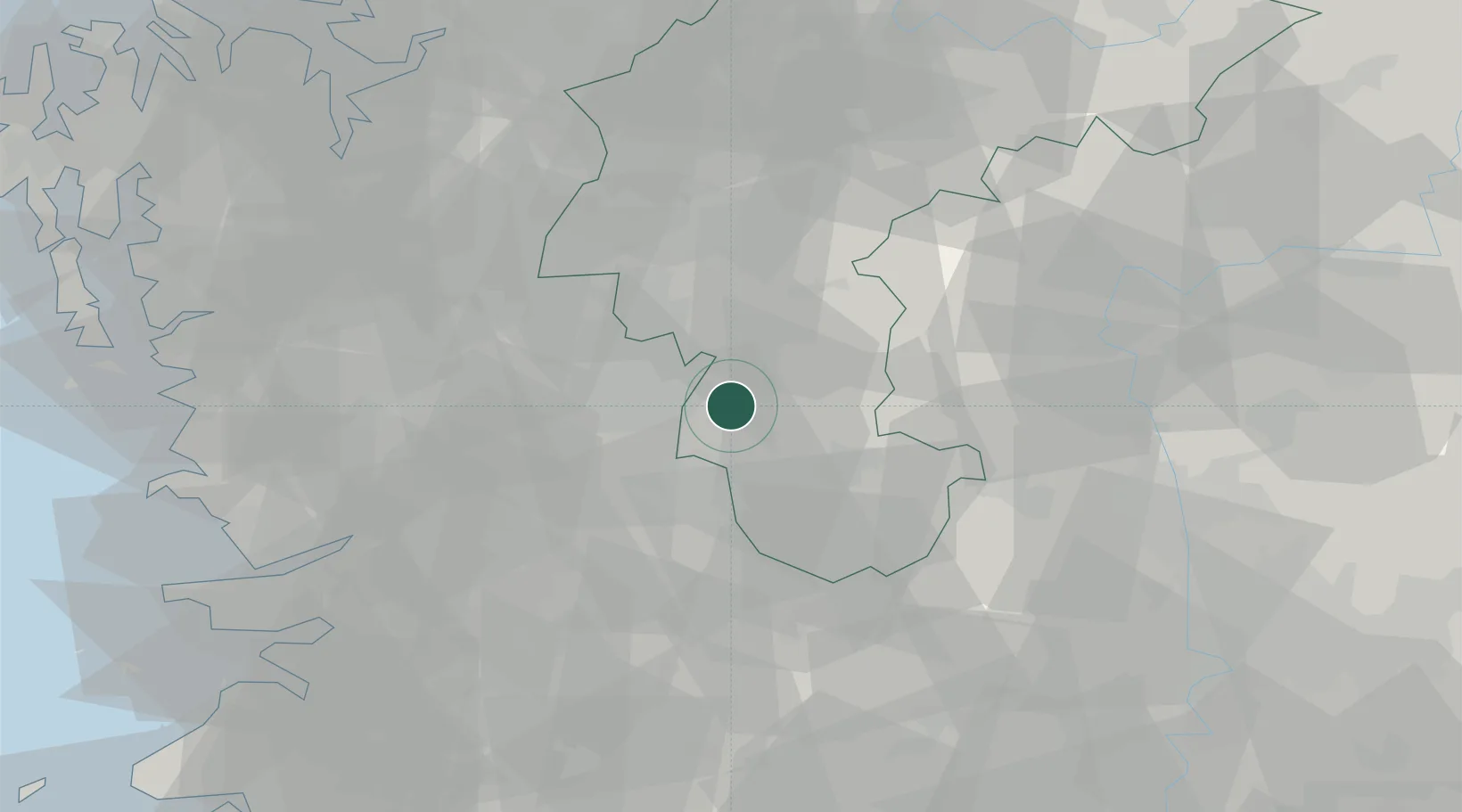
Location
Nearby Logistics Neighbours
Cities
- 1Muju-gun13 km
- 2Daejeon19 km
- 3Shintanjin20 km
- 4Sint'anjin21 km
- 5Hyeondo-myeon/Cheongwon-gun24 km
Ports
- 1Kunsan92 km
- 2Pyeongtaek Hang104 km
- 3Daesan Hang131 km
- 4Masan154 km
- 5Inchon155 km
Airports
DatabookThe Record of Consolidated Knowledge
South Korea beyond logistics?