Transport Functions
Port
Rail
Road
Hub Profile
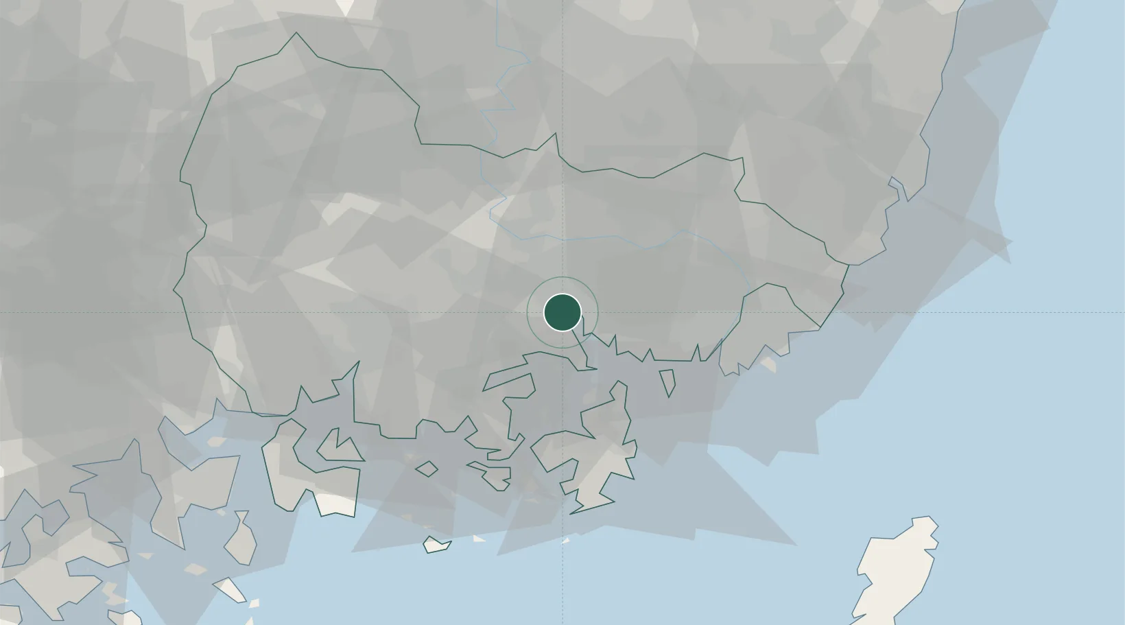
Place type
Populated place
Region
Gyeongsangnam-do
Time zone
Asia/Seoul
Elevation
18 m
Location
Nearby Logistics Neighbours
Cities
- 1Jinhae11 km
- 2Haman-gun17 km
- 3Koryong21 km
- 4Busan New Port26 km
- 5Changwon27 km
Ports
- 1Chinae11 km
- 2Busan44 km
- 3Ulsan81 km
- 4Gwangyang Hang81 km
- 5Pohang120 km
Airports
- 1Gimhae International Airport34 km
- 2Sacheon Airport / Sacheon Air Base47 km
- 3Daegu International Airport78 km
- 4Ulsan Airport84 km
- 5Yeosu Airport95 km
DatabookThe Record of Consolidated Knowledge
South Korea beyond logistics?