Transport Functions
Rail
Road
Hub Profile
Region
48
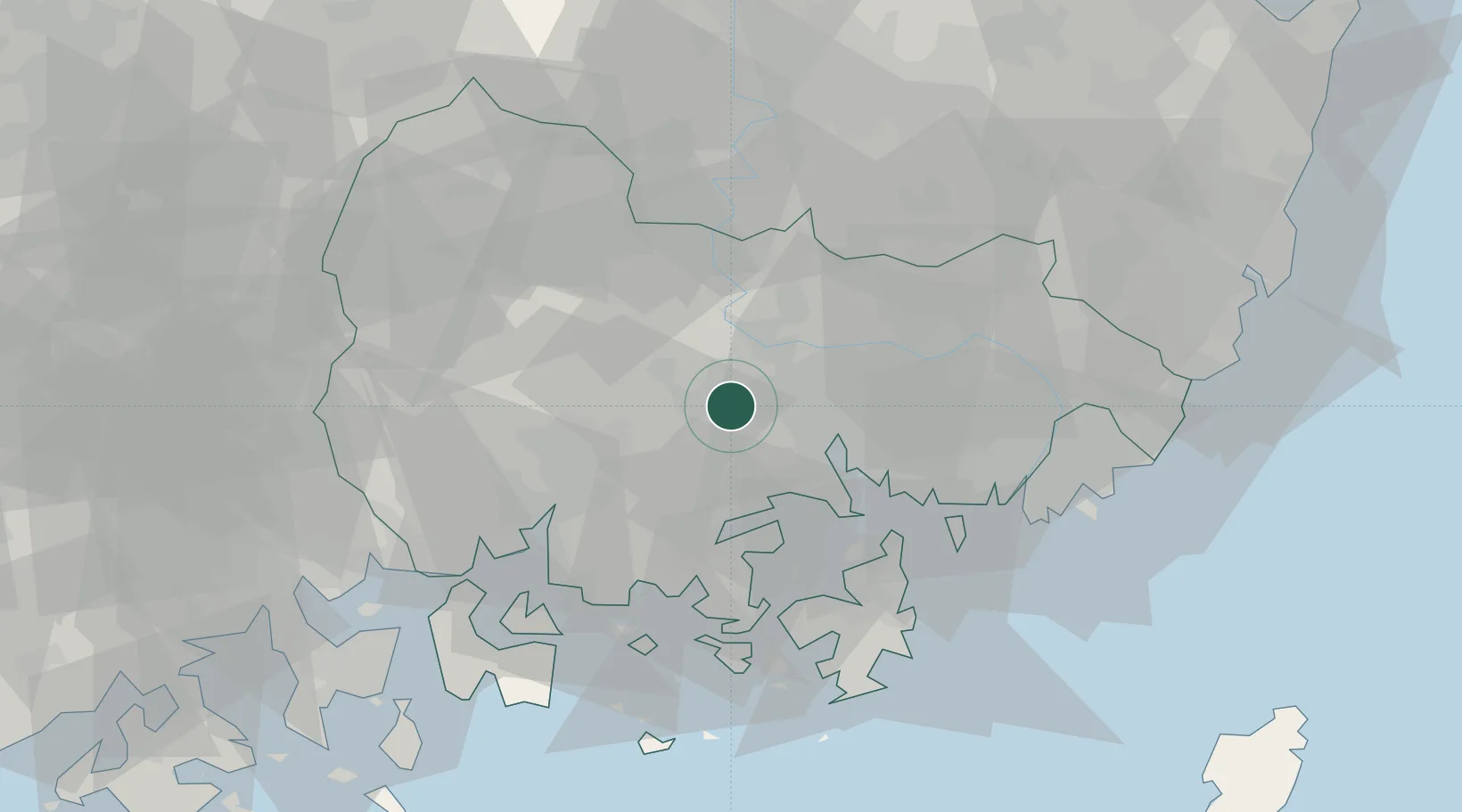
Location
Nearby Logistics Neighbours
Cities
- 1Masan17 km
- 2Jinhae27 km
- 3Changnyeong-gun31 km
- 4Jinju31 km
- 5Goseong-gun34 km
Ports
- 1Masan18 km
- 2Chinae27 km
- 3Busan61 km
- 4Gwangyang Hang71 km
- 5Ulsan93 km
Airports
- 1Sacheon Airport / Sacheon Air Base36 km
- 2Gimhae International Airport50 km
- 3Daegu International Airport74 km
- 4Yeosu Airport86 km
- 5Ulsan Airport94 km
Trade Zones
DatabookThe Record of Consolidated Knowledge
South Korea beyond logistics?