Specialized Zone · South Korea
Namsan District Recreational Zone Under Development
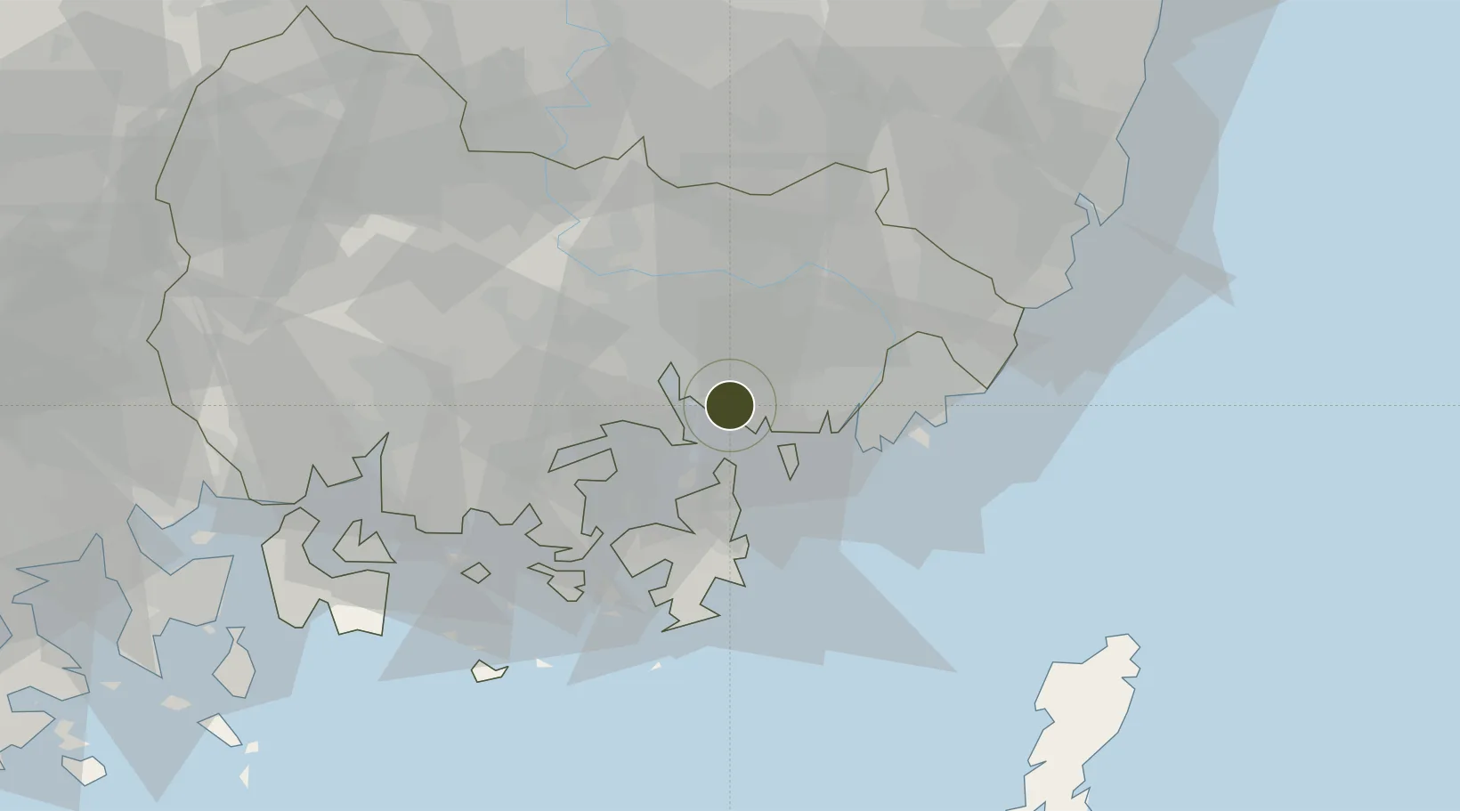
35.1325°, 128.7135°
12 ha
Zone area
5.8 km
Nearest port
21.1 km
Nearest airport
Gateway access
Zone profile
Zone type
Specialized Zone
Specialization
Tourism
Region
South Gyeongsang
Status
Under Development
Management
Public
Operator
Busan-Jinhae Free Economic Zone Authority
Legal framework
Special Act On Designation And Management Of Free Economic Zones Expand Act No. 15309, Dec. 26, 2017, Foreign Investment Promotion Act: Expand Act No. 16131, Dec. 31, 2018.
Location
Nearby Logistics Neighbours
Ports
- 1Chinae6 km
- 2Masan15 km
- 3Busan29 km
- 4Ulsan72 km
- 5Gwangyang Hang91 km
Airports
- 1Gimhae International Airport21 km
- 2Sacheon Airport / Sacheon Air Base59 km
- 3Ulsan Airport77 km
- 4Daegu International Airport85 km
- 5Yeosu Airport105 km
Cities
- 1Jinhae6 km
- 2Busan New Port11 km
- 3Changwon11 km
- 4Masan15 km
- 5Koryong16 km
DatabookThe Record of Consolidated Knowledge
South Korea beyond logistics?