Transport Functions
Rail
Road
Hub Profile
Region
48
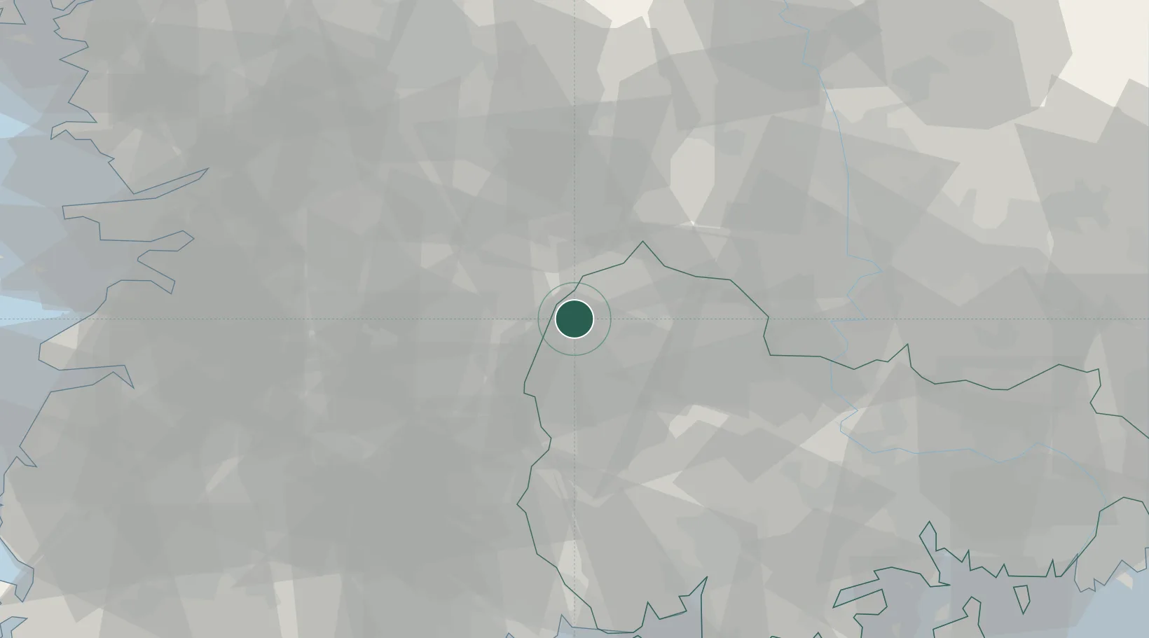
Location
Nearby Logistics Neighbours
Cities
- 1Geochang-gun14 km
- 2Wanju-gun17 km
- 3Hamyang-gun21 km
- 4Jangsu-gun22 km
- 5Jinan-gun31 km
Ports
- 1Gwangyang Hang88 km
- 2Masan94 km
- 3Chinae103 km
- 4Kunsan107 km
- 5Busan134 km
Airports
- 1Sacheon Airport / Sacheon Air Base74 km
- 2Daegu International Airport85 km
- 3Yeosu Airport96 km
- 4Gunsan Airport / Gunsan Air Base105 km
- 5Gwangju Airport107 km
Trade Zones
DatabookThe Record of Consolidated Knowledge
South Korea beyond logistics?