UN/LOCODE hub · South Korea
KRJEO
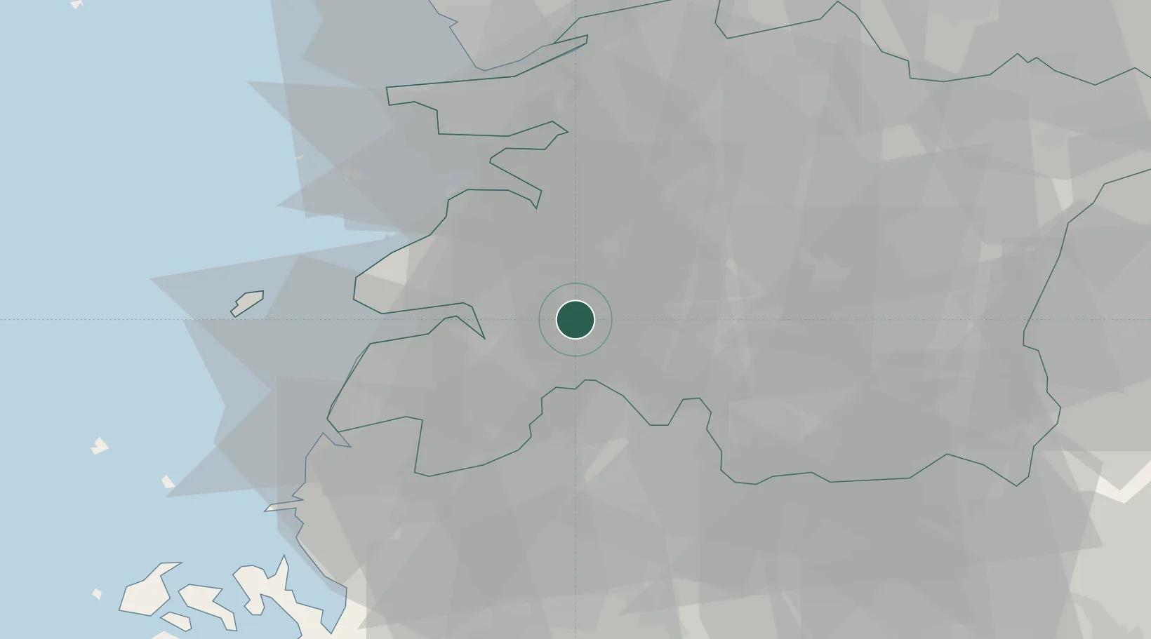
Jeongeup
35.5667°, 126.8500°
139,876
Population
2
Transport functions
Transport Functions
Rail
Road
Hub Profile
Place type
Populated place
Region
Jeollabuk-do
Population
139,876
Time zone
Asia/Seoul
Elevation
53 m
Location
Nearby Logistics Neighbours
Cities
- 1Yongi15 km
- 2Buan-gun20 km
- 3Gochang-gun20 km
- 4Gangjin-gun25 km
- 5Gimje26 km
Ports
- 1Kunsan51 km
- 2Mokpo97 km
- 3Gwangyang Hang110 km
- 4Pyeongtaek Hang159 km
- 5Masan161 km
Airports
- 1Gunsan Airport / Gunsan Air Base43 km
- 2Gwangju Airport50 km
- 3Muan International Airport77 km
- 4Yeosu Airport107 km
- 5Sacheon Airport / Sacheon Air Base123 km
Trade Zones
DatabookThe Record of Consolidated Knowledge
South Korea beyond logistics?