Transport Functions
Rail
Road
Hub Profile
Region
45
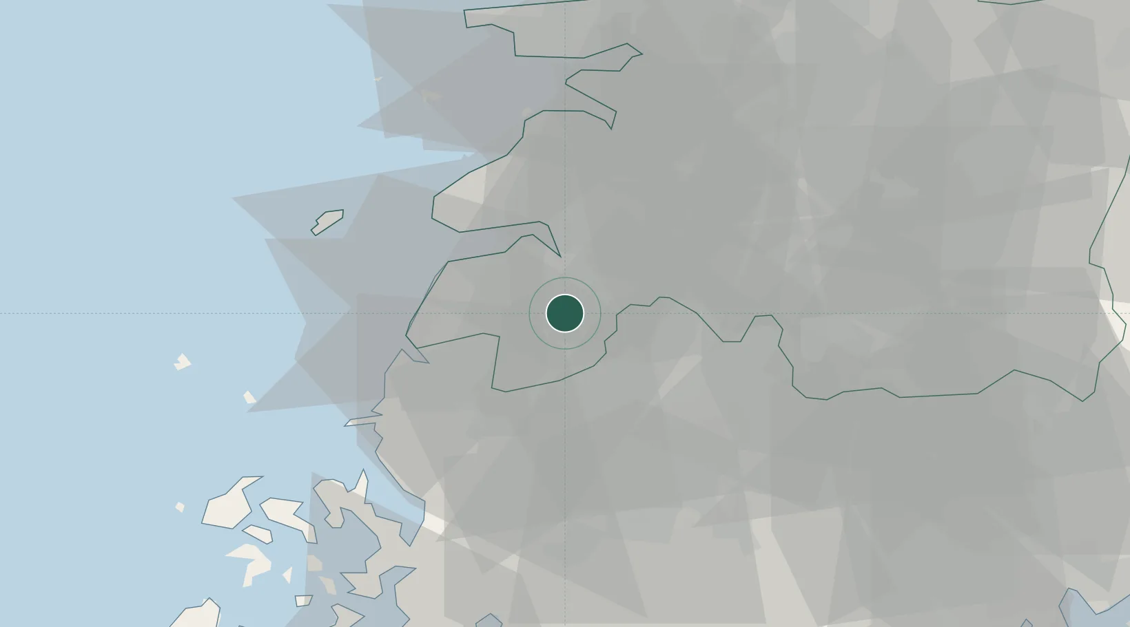
Location
Nearby Logistics Neighbours
Cities
- 1Jangseong/Jangseong-gun17 km
- 2Jeongeup20 km
- 3Yeonggwang-gun26 km
- 4Damyang-gun29 km
- 5Buan-gun32 km
Ports
- 1Kunsan62 km
- 2Mokpo78 km
- 3Gwangyang Hang112 km
- 4Masan172 km
- 5Pyeongtaek Hang174 km
Airports
- 1Gwangju Airport36 km
- 2Gunsan Airport / Gunsan Air Base53 km
- 3Muan International Airport57 km
- 4Yeosu Airport106 km
- 5Sacheon Airport / Sacheon Air Base130 km
DatabookThe Record of Consolidated Knowledge
South Korea beyond logistics?