Transport Functions
Rail
Road
Hub Profile
Region
46
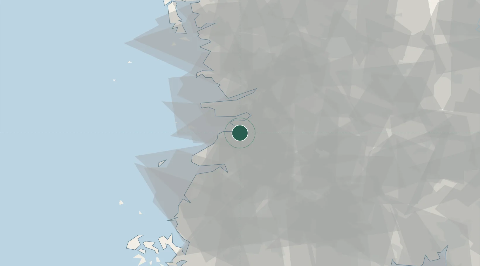
Location
Nearby Logistics Neighbours
Cities
- 1Buan-gun8 km
- 2Gimje9 km
- 3Yongi22 km
- 4Hampyeong-gun23 km
- 5Gunsan24 km
Ports
- 1Kunsan26 km
- 2Mokpo117 km
- 3Gwangyang Hang132 km
- 4Pyeongtaek Hang135 km
- 5Daesan Hang141 km
Airports
Trade Zones
DatabookThe Record of Consolidated Knowledge
South Korea beyond logistics?