Transport Functions
Road
Multimodal
Hub Profile
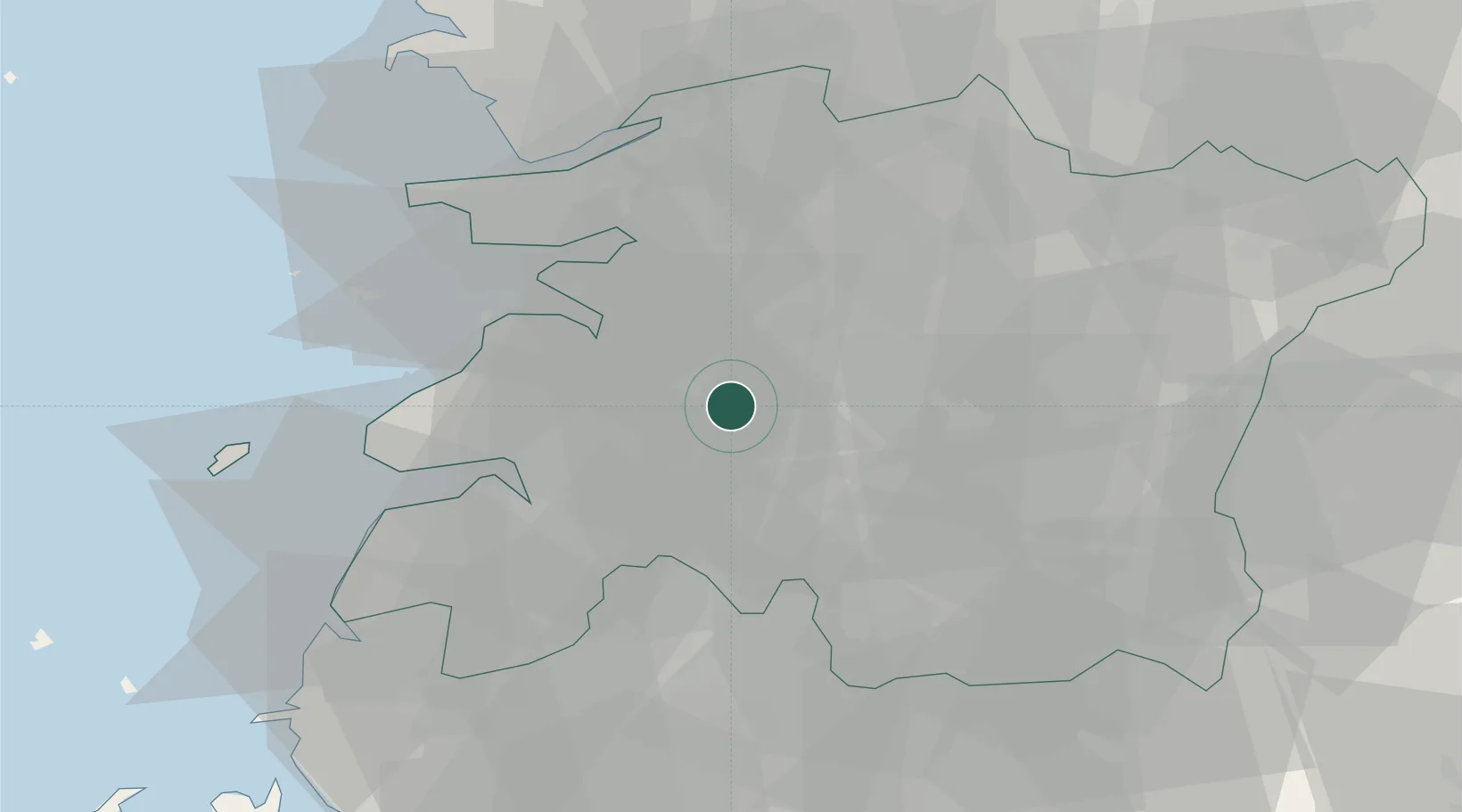
Place type
Populated place
Region
Jeollabuk-do
Time zone
Asia/Seoul
Elevation
46 m
Location
Nearby Logistics Neighbours
Cities
- 1Jeongeup15 km
- 2Gimje17 km
- 3Buan-gun22 km
- 4Gangjin-gun22 km
- 5Chonju23 km
Ports
- 1Kunsan47 km
- 2Gwangyang Hang110 km
- 3Mokpo112 km
- 4Pyeongtaek Hang149 km
- 5Masan155 km
Airports
- 1Gunsan Airport / Gunsan Air Base41 km
- 2Gwangju Airport62 km
- 3Muan International Airport92 km
- 4Yeosu Airport109 km
- 5Sacheon Airport / Sacheon Air Base119 km
Trade Zones
DatabookThe Record of Consolidated Knowledge
South Korea beyond logistics?