Transport Functions
Rail
Road
Hub Profile
Region
45
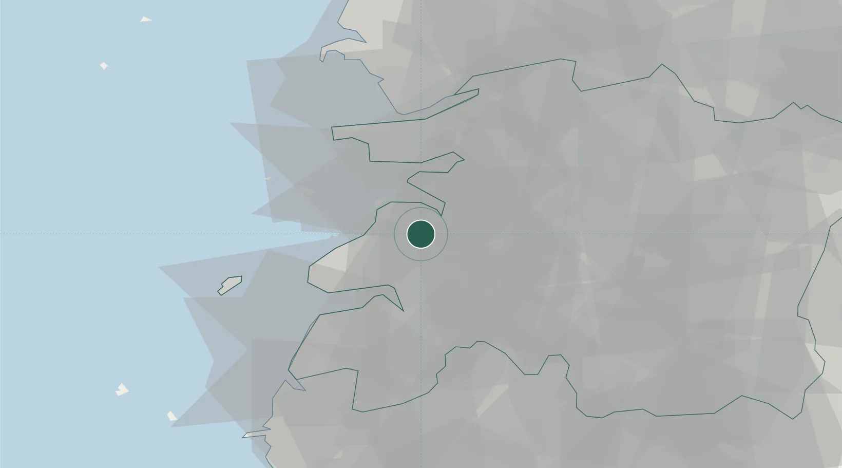
Location
Nearby Logistics Neighbours
Cities
- 1Gangjin-gun8 km
- 2Gimje15 km
- 3Jeongeup20 km
- 4Hampyeong-gun22 km
- 5Yongi22 km
Ports
- 1Kunsan32 km
- 2Mokpo109 km
- 3Gwangyang Hang129 km
- 4Pyeongtaek Hang143 km
- 5Daesan Hang148 km
Airports
Trade Zones
DatabookThe Record of Consolidated Knowledge
South Korea beyond logistics?