Industrial Complex · South Korea

Sangpyeong General Industrial Complex Active
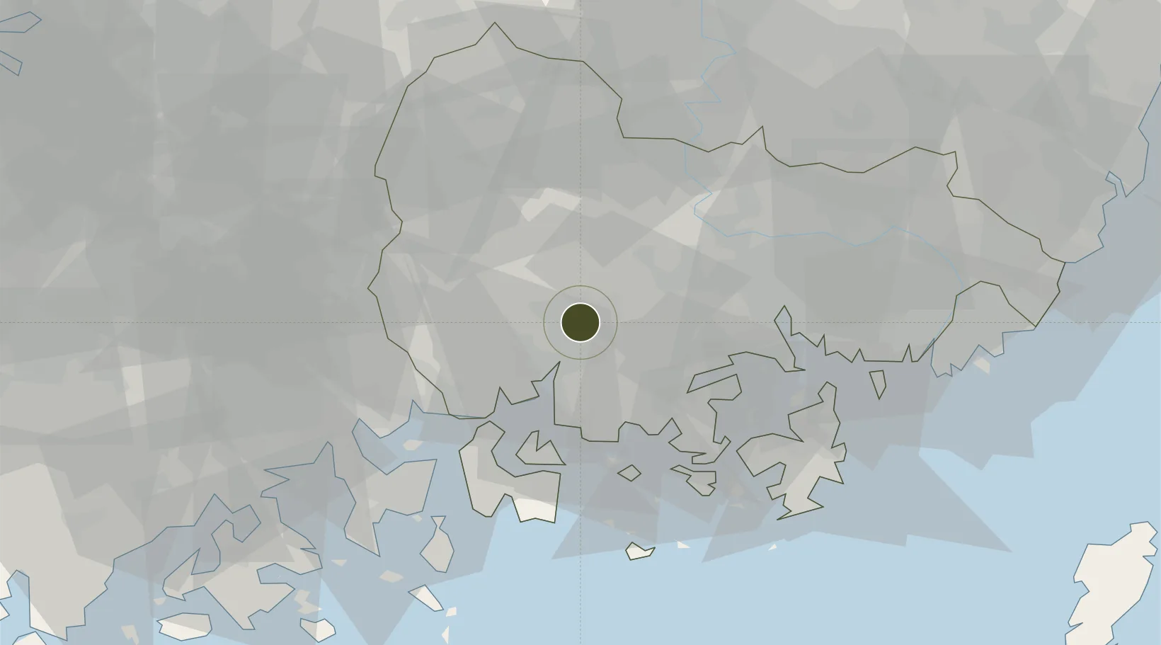
35.1739°, 128.1174°
1,053,300 ha
Zone area
40.8 km
Nearest port
10.4 km
Nearest airport

Gateway access

Nearest neighbours — logibook spatial index (haversine) over the source coordinates

Zone profile

Zone type
Industrial Complex
the World Bank SEZ database
Specialization
Aerospace
the World Bank SEZ database
Region
South Gyeongsang
the World Bank SEZ database
Status
Active
the World Bank SEZ database
Established
2001
the World Bank SEZ database
Management
Public agency
the World Bank SEZ database
Operator
Jinju-si city administration
the World Bank SEZ database
Regulatory authority
National, provincial or city-level governments
the World Bank SEZ database
Legal framework
Industrial Sites and Development Act, and the Industrial Placement and Factory Act
the World Bank SEZ database

Location

Location of KOR92
Natural Earth 10m (public domain) · South Gyeongsang · KOR92 · 35.17, 128.12GoogleOSMYandex

Fiscal & incentives

Corporate tax
22%
the World Bank SEZ database
Tax relief
100% exempt
the World Bank SEZ database
Relief duration
5 years
the World Bank SEZ database
VAT
No exemption
the World Bank SEZ database
Import duty (inputs)
0% exempt
the World Bank SEZ database
Import duty (capex)
100% exempt
the World Bank SEZ database
Profit repatriation
No exemption
the World Bank SEZ database
Capital gains
No exemption
the World Bank SEZ database
Withholding tax
No exemption
the World Bank SEZ database
Min. investment
$30M
the World Bank SEZ database
Min. export
0%
the World Bank SEZ database
Employment incentive
Employment and training subsidies available to companies that newly employ 20 more individuals
the World Bank SEZ database
Developer incentive
No established framework
the World Bank SEZ database

Nearby Logistics Neighbours

Ports
  1. 1Masan41 km
  2. 2Gwangyang Hang45 km
  3. 3Chinae49 km
  4. 4Busan84 km
  5. 5Ulsan120 km
Nearest neighbours — logibook spatial index (haversine) over the source coordinates
Airports
  1. 1Sacheon Airport / Sacheon Air Base10 km
  2. 2Yeosu Airport59 km
  3. 3Gimhae International Airport75 km
  4. 4Daegu International Airport94 km
  5. 5Gwangju Airport119 km
Nearest neighbours — logibook spatial index (haversine) over the source coordinates
Cities
  1. 1Jinju3 km
  2. 2Haman-gun28 km
  3. 3Samcheonpo/Sacheon29 km
  4. 4Goseong-gun29 km
  5. 5Sancheong-gun34 km
Nearest neighbours — logibook spatial index (haversine) over the source coordinates
Trade Zones
  1. 1Jinju Enterprise City4 km
  2. 2Sacheon Foreign Investment Zone13 km
  3. 3Sacheon 2 General Industrial Complex15 km
  4. 4Daesong Industrial Complex35 km
  5. 5Chilseo General Industrial Complex40 km
Nearest neighbours — logibook spatial index (haversine) over the source coordinates
DatabookThe Record of Consolidated Knowledge
South Korea beyond logistics?
Browse databook

All Sources

Trade Zonesthe World Bank SEZ database
CC BY 4.0
Portsthe NGA World Port Index
Public domain (US gov)
AirportsOurAirports
Public domain
LocationsUN/LOCODE
UN/LOCODE — free
← South Korea trade zones