Transport Functions
Rail
Road
Airport
Hub Profile
Place type
Populated place
Region
Jeollabuk-do
Time zone
Asia/Seoul
Elevation
7 m
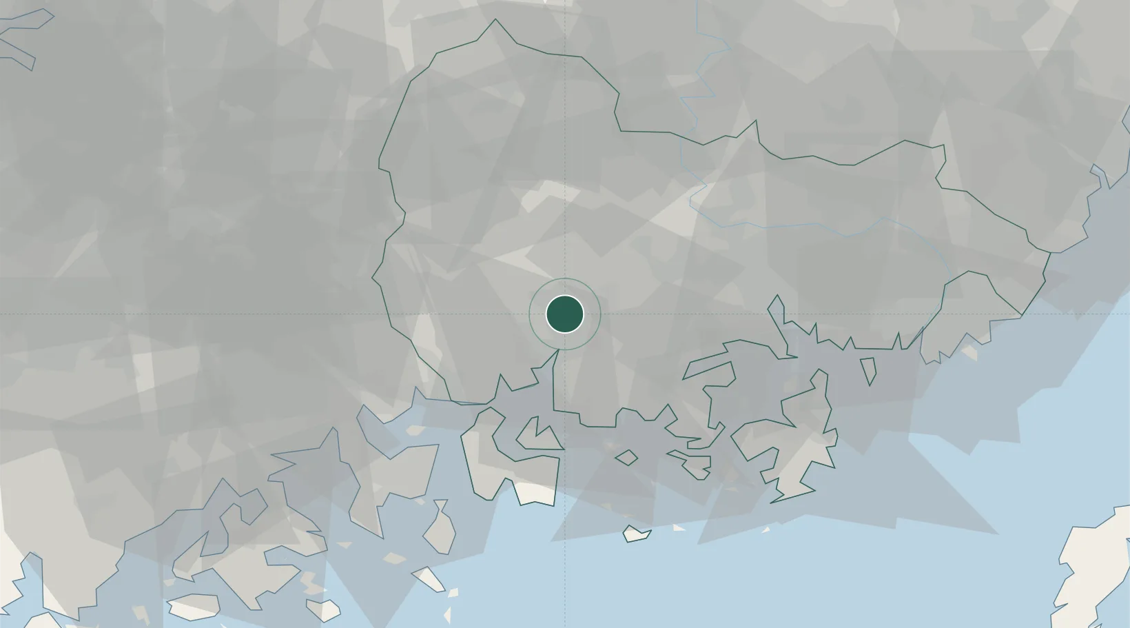
Location
Nearby Logistics Neighbours
Cities
- 1Samcheonpo/Sacheon28 km
- 2Goseong-gun31 km
- 3Haman-gun31 km
- 4Sancheong-gun33 km
- 5Anjeong40 km
Ports
- 1Gwangyang Hang42 km
- 2Masan44 km
- 3Chinae52 km
- 4Busan87 km
- 5Ulsan124 km
Airports
- 1Sacheon Airport / Sacheon Air Base9 km
- 2Yeosu Airport56 km
- 3Gimhae International Airport78 km
- 4Daegu International Airport96 km
- 5Gwangju Airport116 km
Trade Zones
DatabookThe Record of Consolidated Knowledge
South Korea beyond logistics?