Industrial Complex · South Korea
Chilseo General Industrial Complex
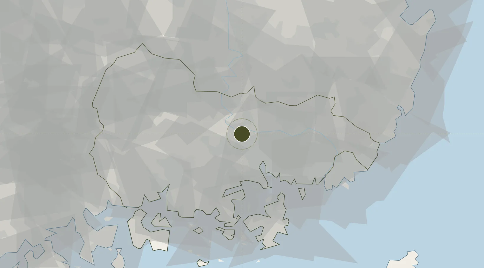
35.3680°, 128.4818°
210 ha
Zone area
21.9 km
Nearest port
46.4 km
Nearest airport
Gateway access
Zone profile
Zone type
Industrial Complex
Region
South Gyeongsang
Established
2013
Management
State-owned enterprise
Operator
Chilseo General Industrial Complex Management Corporation
Regulatory authority
National, provincial or city-level governments
Legal framework
Industrial Sites and Development Act, and the Industrial Placement and Factory Act
Location
Fiscal & incentives
Corporate tax
22%
Tax relief
100% exempt
Relief duration
5 years
VAT
No exemption
Import duty (inputs)
0% exempt
Import duty (capex)
100% exempt
Profit repatriation
No exemption
Capital gains
No exemption
Withholding tax
No exemption
Min. investment
$30M
Min. export
0%
Employment incentive
Employment and training subsidies available to companies that newly employ 20 more individuals
Developer incentive
No established framework
Nearby Logistics Neighbours
Ports
- 1Masan22 km
- 2Chinae30 km
- 3Busan58 km
- 4Ulsan84 km
- 5Gwangyang Hang84 km
Airports
- 1Gimhae International Airport46 km
- 2Sacheon Airport / Sacheon Air Base49 km
- 3Daegu International Airport61 km
- 4Ulsan Airport83 km
- 5Yeosu Airport98 km
Cities
- 1Haman-gun14 km
- 2Changnyeong-gun18 km
- 3Masan20 km
- 4Koryong30 km
- 5Jinhae30 km
Trade Zones
DatabookThe Record of Consolidated Knowledge
South Korea beyond logistics?