UN/LOCODE hub · South Korea
KRCNG

Changnyeong-gun

35.5333°, 128.4833°
2
Transport functions

Transport Functions

Rail
Road
UN/LOCODE

Hub Profile

Region
48
GeoNames

Location

Location of KRCNG
Natural Earth 10m (public domain) · 48 · KRCNG · 35.53, 128.48GoogleOSMYandex

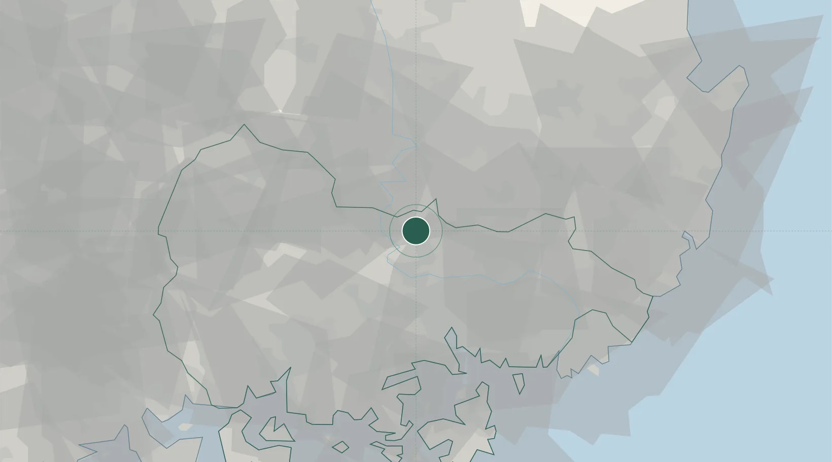
Nearby Logistics Neighbours

Cities
  1. 1Cheongdo-gun25 km
  2. 2Haman-gun31 km
  3. 3Dalseong-gun/Daegu32 km
  4. 4Gyeongsan37 km
  5. 5Masan38 km
Nearest neighbours — logibook spatial index (haversine) over the source coordinates
Ports
  1. 1Masan40 km
  2. 2Chinae47 km
  3. 3Busan69 km
  4. 4Ulsan84 km
  5. 5Gwangyang Hang96 km
Nearest neighbours — logibook spatial index (haversine) over the source coordinates
Airports
  1. 1Daegu International Airport43 km
  2. 2Gimhae International Airport57 km
  3. 3Sacheon Airport / Sacheon Air Base62 km
  4. 4Ulsan Airport79 km
  5. 5Pohang Airport (G-815/K-3)99 km
Nearest neighbours — logibook spatial index (haversine) over the source coordinates
Trade Zones
  1. 1Dalseong 2 General Industrial Complex13 km
  2. 2Chilseo General Industrial Complex18 km
  3. 3Dalseong 1 (GIC - includes 10ha FIZ)22 km
  4. 4Dasan General Industrial Complex30 km
  5. 5Seongseo 1 General Industrial Complex34 km
Nearest neighbours — logibook spatial index (haversine) over the source coordinates
DatabookThe Record of Consolidated Knowledge
South Korea beyond logistics?
Browse databook

All Sources

LocationsUN/LOCODE
UN/LOCODE — free
Portsthe NGA World Port Index
Public domain (US gov)
AirportsOurAirports
Public domain
Trade Zonesthe World Bank SEZ database
CC BY 4.0
Trade ZonesOpen Zone Map
CC BY
← South Korea locations