Transport Functions
Rail
Road
Hub Profile
Region
42
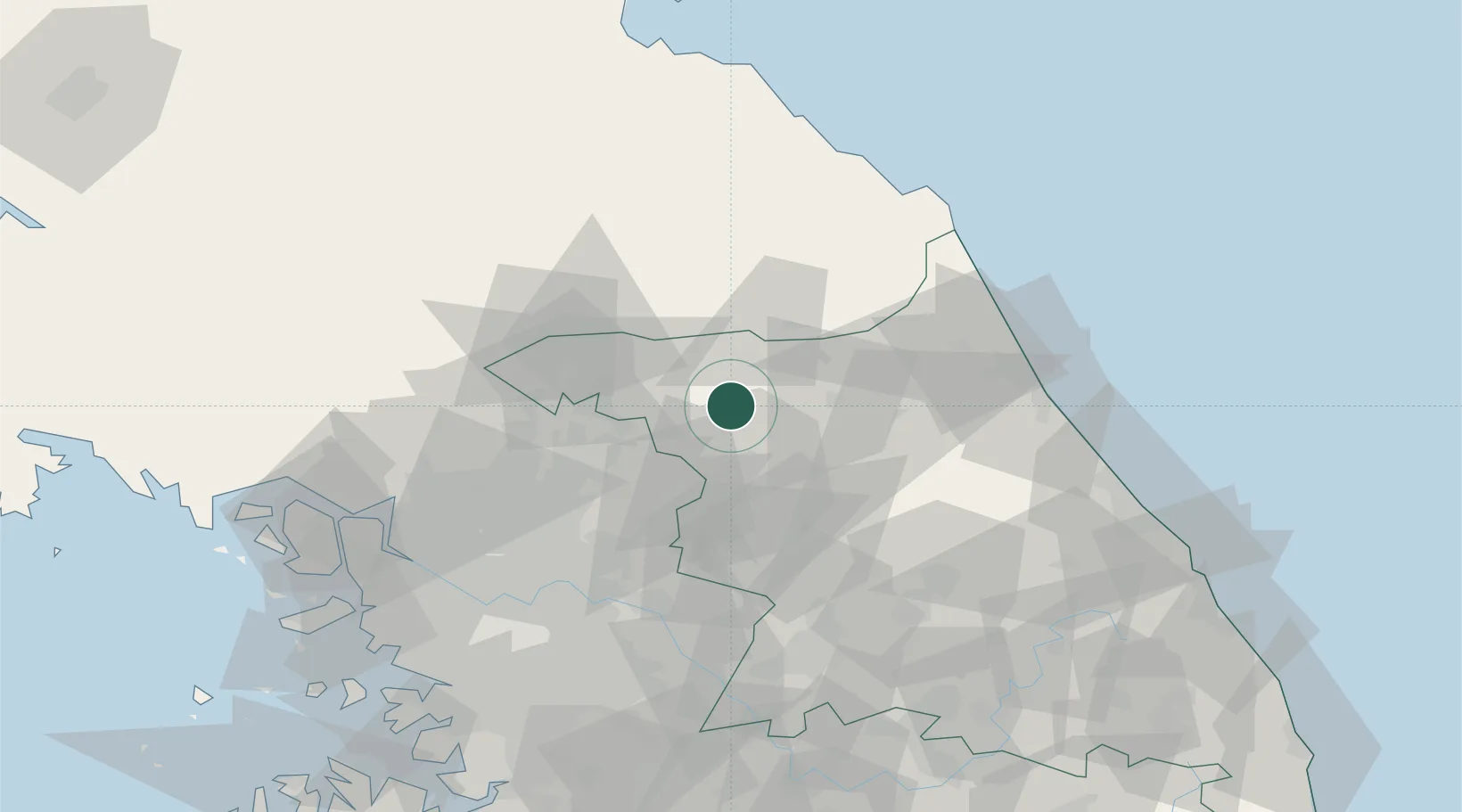
Location
Nearby Logistics Neighbours
Cities
- 1Yanggu-gun25 km
- 2Dongducheon26 km
- 3Chuncheon26 km
- 4Gapyeong-gun36 km
- 5Cheorwon-gun45 km
Ports
- 1Sokch'o Hang80 km
- 2Inchon118 km
- 3Wonsan121 km
- 4Mukho138 km
- 5Tonghae142 km
Airports
DatabookThe Record of Consolidated Knowledge
South Korea beyond logistics?