Transport Functions
Rail
Road
Hub Profile
Place type
Populated place
Region
Gyeongsangnam-do
Time zone
Asia/Seoul
Elevation
71 m
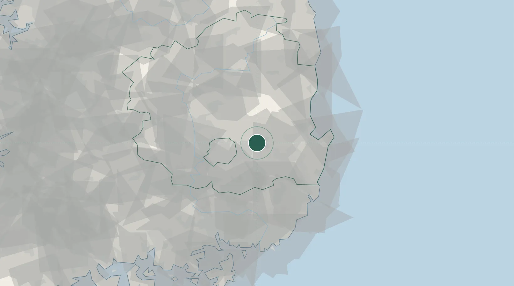
Location
Nearby Logistics Neighbours
Cities
- 1Yongsan23 km
- 2Gyeongsan26 km
- 3Gyeongju29 km
- 4Daegu33 km
- 5Bonghwa-gun36 km
Airports
- 1Daegu International Airport26 km
- 2Pohang Airport (G-815/K-3)44 km
- 3Ulsan Airport56 km
- 4Gimhae International Airport88 km
- 5Yecheon Airbase91 km
DatabookThe Record of Consolidated Knowledge
South Korea beyond logistics?