Transport Functions
Rail
Road
Hub Profile
Region
46
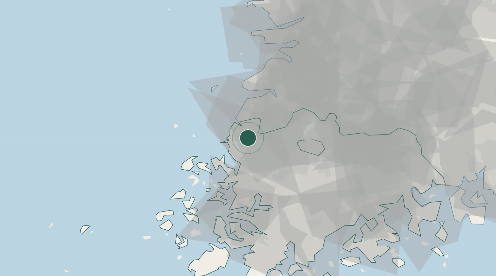
Location
Nearby Logistics Neighbours
Cities
- 1Gochang-gun26 km
- 2Jangseong/Jangseong-gun28 km
- 3Gwangju30 km
- 4Naju34 km
- 5Damyang-gun44 km
Ports
- 1Mokpo55 km
- 2Kunsan80 km
- 3Gwangyang Hang121 km
- 4Masan188 km
- 5Pyeongtaek Hang195 km
Airports
- 1Gwangju Airport32 km
- 2Muan International Airport32 km
- 3Gunsan Airport / Gunsan Air Base72 km
- 4Yeosu Airport112 km
- 5Sacheon Airport / Sacheon Air Base144 km
DatabookThe Record of Consolidated Knowledge
South Korea beyond logistics?