Transport Functions
Rail
Road
Hub Profile
Region
46
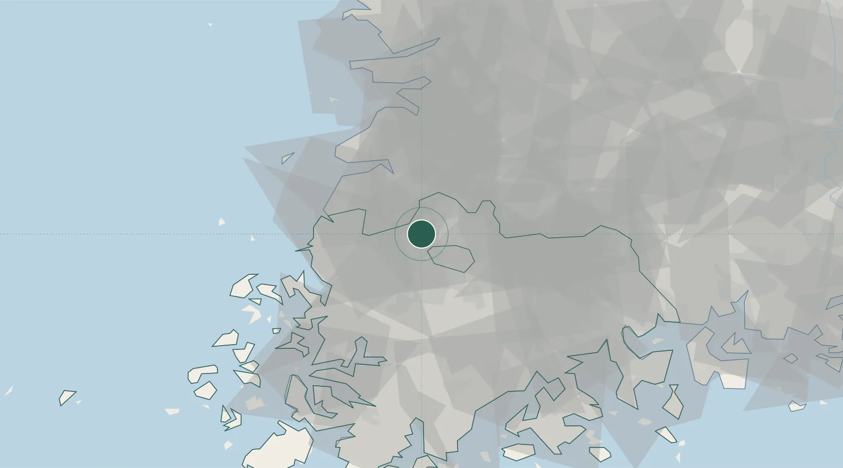
Location
Nearby Logistics Neighbours
Cities
- 1Damyang-gun17 km
- 2Gochang-gun17 km
- 3Gwangju18 km
- 4Yeonggwang-gun28 km
- 5Jeongeup30 km
Ports
- 1Mokpo69 km
- 2Kunsan78 km
- 3Gwangyang Hang97 km
- 4Masan161 km
- 5Chinae169 km
Airports
- 1Gwangju Airport20 km
- 2Muan International Airport51 km
- 3Gunsan Airport / Gunsan Air Base69 km
- 4Yeosu Airport90 km
- 5Sacheon Airport / Sacheon Air Base118 km
DatabookThe Record of Consolidated Knowledge
South Korea beyond logistics?