UN/LOCODE hub · South Korea
KRDYA

Damyang-gun

35.3167°, 126.9833°
2
Transport functions

Transport Functions

Rail
Road
UN/LOCODE

Hub Profile

Region
46
GeoNames

Location

Location of KRDYA
Natural Earth 10m (public domain) · 46 · KRDYA · 35.32, 126.98GoogleOSMYandex

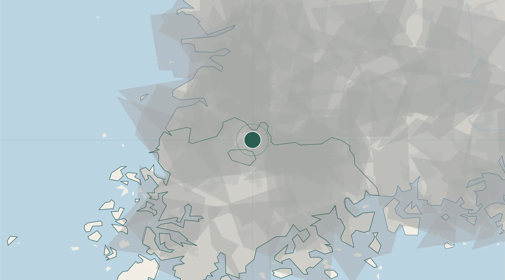
Nearby Logistics Neighbours

Cities
  1. 1Jangseong/Jangseong-gun17 km
  2. 2Gwangju27 km
  3. 3Gokseong-gun28 km
  4. 4Gochang-gun29 km
  5. 5Hwasun-gun30 km
Nearest neighbours — logibook spatial index (haversine) over the source coordinates
Ports
  1. 1Mokpo81 km
  2. 2Kunsan81 km
  3. 3Gwangyang Hang83 km
  4. 4Masan145 km
  5. 5Chinae153 km
Nearest neighbours — logibook spatial index (haversine) over the source coordinates
Airports
  1. 1Gwangju Airport27 km
  2. 2Muan International Airport66 km
  3. 3Gunsan Airport / Gunsan Air Base73 km
  4. 4Yeosu Airport78 km
  5. 5Sacheon Airport / Sacheon Air Base102 km
Nearest neighbours — logibook spatial index (haversine) over the source coordinates
Trade Zones
  1. 1Gwangju High-tech National Industrial Complex15 km
  2. 2Chumdan Science Industrial Complex 215 km
  3. 3Bonchon General Industrial Complex16 km
  4. 4Hanam 1-3 General Industrial Complex21 km
  5. 5Gwangju New Free Economic Zone21 km
Nearest neighbours — logibook spatial index (haversine) over the source coordinates
DatabookThe Record of Consolidated Knowledge
South Korea beyond logistics?
Browse databook

All Sources

LocationsUN/LOCODE
UN/LOCODE — free
Portsthe NGA World Port Index
Public domain (US gov)
AirportsOurAirports
Public domain
Trade Zonesthe World Bank SEZ database
CC BY 4.0
Trade ZonesOpen Zone Map
CC BY
← South Korea locations