Industrial Complex · South Korea

Hanam 1-3 General Industrial Complex Active
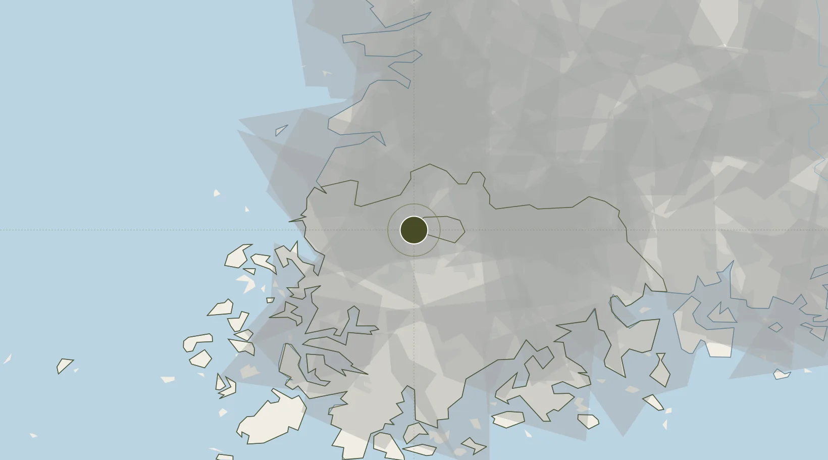
35.2007°, 126.8044°
594 ha
Zone area
60.2 km
Nearest port
8.6 km
Nearest airport

Gateway access

Nearest neighbours — logibook spatial index (haversine) over the source coordinates

Zone profile

Zone type
Industrial Complex
the World Bank SEZ database
Region
South Jeolla
the World Bank SEZ database
Status
Active
the World Bank SEZ database
Established
1983
the World Bank SEZ database
Management
Public agency
the World Bank SEZ database
Operator
Hanam Industrial Complex Corporation
the World Bank SEZ database
Regulatory authority
National, provincial or city-level governments
the World Bank SEZ database
Legal framework
Industrial Sites and Development Act, and the Industrial Placement and Factory Act
the World Bank SEZ database

Location

Location of KOR58
Natural Earth 10m (public domain) · South Jeolla · KOR58 · 35.20, 126.80GoogleOSMYandex

Fiscal & incentives

Corporate tax
22%
the World Bank SEZ database
Tax relief
100% exempt
the World Bank SEZ database
Relief duration
5 years
the World Bank SEZ database
VAT
No exemption
the World Bank SEZ database
Import duty (inputs)
0% exempt
the World Bank SEZ database
Import duty (capex)
100% exempt
the World Bank SEZ database
Profit repatriation
No exemption
the World Bank SEZ database
Capital gains
No exemption
the World Bank SEZ database
Withholding tax
No exemption
the World Bank SEZ database
Min. investment
$30M
the World Bank SEZ database
Min. export
0%
the World Bank SEZ database
Employment incentive
Employment and training subsidies available to companies that newly employ 20 more individuals
the World Bank SEZ database
Developer incentive
No established framework
the World Bank SEZ database

Nearby Logistics Neighbours

Ports
  1. 1Mokpo60 km
  2. 2Kunsan89 km
  3. 3Gwangyang Hang92 km
  4. 4Masan160 km
  5. 5Chinae168 km
Nearest neighbours — logibook spatial index (haversine) over the source coordinates
Airports
  1. 1Gwangju Airport9 km
  2. 2Muan International Airport45 km
  3. 3Gunsan Airport / Gunsan Air Base80 km
  4. 4Yeosu Airport84 km
  5. 5Sacheon Airport / Sacheon Air Base116 km
Nearest neighbours — logibook spatial index (haversine) over the source coordinates
Cities
  1. 1Gwangju7 km
  2. 2Jangseong/Jangseong-gun11 km
  3. 3Damyang-gun21 km
  4. 4Naju22 km
  5. 5Hwasun-gun23 km
Nearest neighbours — logibook spatial index (haversine) over the source coordinates
Trade Zones
  1. 1Gwangju New Free Economic Zone1 km
  2. 2Jingok Industrial Complex (R&D Special zone)3 km
  3. 3Sochon Agro-Industrial Complex5 km
  4. 4Sochon Industrial Complex6 km
  5. 5Chumdan Science Industrial Complex 26 km
Nearest neighbours — logibook spatial index (haversine) over the source coordinates
DatabookThe Record of Consolidated Knowledge
South Korea beyond logistics?
Browse databook

All Sources

Trade Zonesthe World Bank SEZ database
CC BY 4.0
Portsthe NGA World Port Index
Public domain (US gov)
AirportsOurAirports
Public domain
LocationsUN/LOCODE
UN/LOCODE — free
← South Korea trade zones