UN/LOCODE hub · South Korea
KRKCN

Gamcheon/Busan

35.0833°, 129.0000°
1
Transport functions

Transport Functions

Port
UN/LOCODE

Hub Profile

Region
26
GeoNames

Location

Location of KRKCN
Natural Earth 10m (public domain) · 26 · KRKCN · 35.08, 129.00GoogleOSMYandex

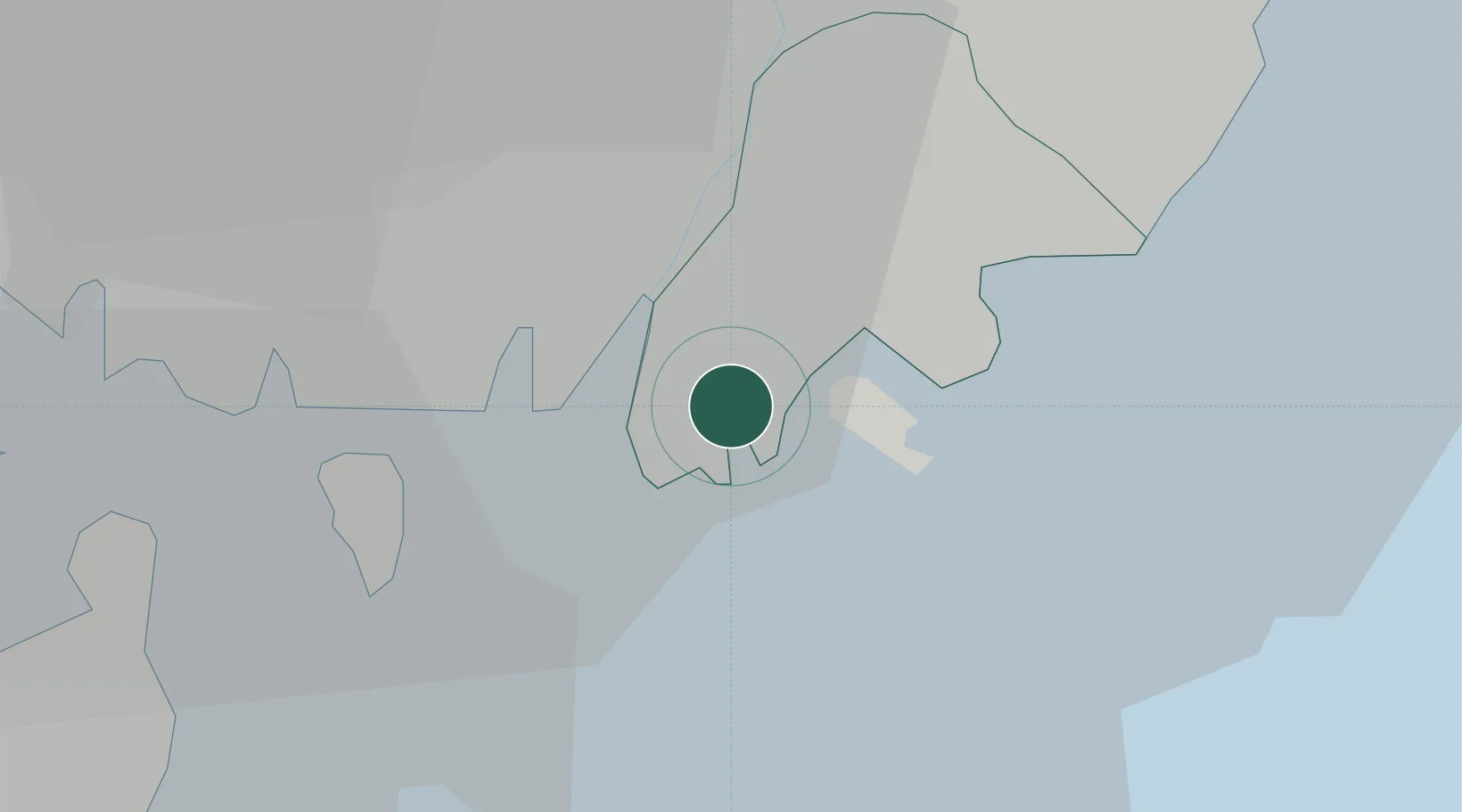
Nearby Logistics Neighbours

Cities
  1. 1Busan4 km
  2. 2Busanjin-Gu9 km
  3. 3South Busan14 km
  4. 4Changwon16 km
  5. 5Busan New Port17 km
Nearest neighbours — logibook spatial index (haversine) over the source coordinates
Ports
  1. 1Busan4 km
  2. 2Chinae32 km
  3. 3Masan41 km
  4. 4Ulsan55 km
  5. 5Izuhara102 km
Nearest neighbours — logibook spatial index (haversine) over the source coordinates
Airports
  1. 1Gimhae International Airport12 km
  2. 2Ulsan Airport65 km
  3. 3Sacheon Airport / Sacheon Air Base85 km
  4. 4Tsushima Airport94 km
  5. 5Daegu International Airport95 km
Nearest neighbours — logibook spatial index (haversine) over the source coordinates
Trade Zones
  1. 1Sinpyeong Jangrim General Industrial Complex3 km
  2. 2Busan-Jinhae New Port Feriegn Investment Area7 km
  3. 3Busan Northern Port Free Trade Zone7 km
  4. 4Myeongji International City9 km
  5. 5Busan Regulation-Free Zone10 km
Nearest neighbours — logibook spatial index (haversine) over the source coordinates
DatabookThe Record of Consolidated Knowledge
South Korea beyond logistics?
Browse databook

All Sources

LocationsUN/LOCODE
UN/LOCODE — free
Portsthe NGA World Port Index
Public domain (US gov)
AirportsOurAirports
Public domain
Trade Zonesthe World Bank SEZ database
CC BY 4.0
Trade ZonesOpen Zone Map
CC BY
← South Korea locations