Industrial Complex · South Korea

Tangjeong Display City 1 General Industrial Complex Active
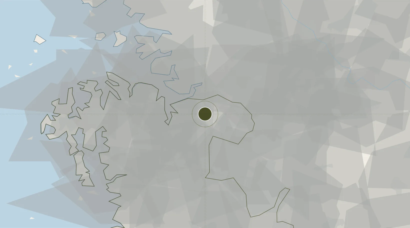
36.8170°, 127.0586°
33 ha
Zone area
30.7 km
Nearest port
16.3 km
Nearest airport

Gateway access

Nearest neighbours — logibook spatial index (haversine) over the source coordinates

Zone profile

Zone type
Industrial Complex
the World Bank SEZ database
Region
South Chungcheong
the World Bank SEZ database
Status
Active
the World Bank SEZ database
Established
2013
the World Bank SEZ database
Management
Public agency
the World Bank SEZ database
Operator
Asan-si city administration
the World Bank SEZ database
Regulatory authority
National, provincial or city-level governments
the World Bank SEZ database
Legal framework
Industrial Sites and Development Act, and the Industrial Placement and Factory Act
the World Bank SEZ database

Location

Location of KOR104
Natural Earth 10m (public domain) · South Chungcheong · KOR104 · 36.82, 127.06GoogleOSMYandex

Fiscal & incentives

Corporate tax
22%
the World Bank SEZ database
Tax relief
100% exempt
the World Bank SEZ database
Relief duration
5 years
the World Bank SEZ database
VAT
No exemption
the World Bank SEZ database
Import duty (inputs)
0% exempt
the World Bank SEZ database
Import duty (capex)
100% exempt
the World Bank SEZ database
Profit repatriation
No exemption
the World Bank SEZ database
Capital gains
No exemption
the World Bank SEZ database
Withholding tax
No exemption
the World Bank SEZ database
Min. investment
$30M
the World Bank SEZ database
Min. export
0%
the World Bank SEZ database
Employment incentive
Employment and training subsidies available to companies that newly employ 20 more individuals
the World Bank SEZ database
Developer incentive
No established framework
the World Bank SEZ database

Nearby Logistics Neighbours

Ports
  1. 1Pyeongtaek Hang31 km
  2. 2Daesan Hang63 km
  3. 3Inchon82 km
  4. 4Kunsan101 km
  5. 5Haeju Hang178 km
Nearest neighbours — logibook spatial index (haversine) over the source coordinates
Airports
  1. 1Camp Humphreys (A-511) Desiderio Army Airfield16 km
  2. 2Osan Air Base31 km
  3. 3Cheongju International Airport/Cheongju Air Base (K-59/G-513)41 km
  4. 4Suwon Airport47 km
  5. 5Seoul Air Base (K-16)70 km
Nearest neighbours — logibook spatial index (haversine) over the source coordinates
Cities
  1. 1Asan6 km
  2. 2Cheonan7 km
  3. 3Chonui/Yeongi-gun21 km
  4. 4Pyeongtaek25 km
  5. 5Yesan25 km
Nearest neighbours — logibook spatial index (haversine) over the source coordinates
DatabookThe Record of Consolidated Knowledge
South Korea beyond logistics?
Browse databook

All Sources

Trade Zonesthe World Bank SEZ database
CC BY 4.0
Portsthe NGA World Port Index
Public domain (US gov)
AirportsOurAirports
Public domain
LocationsUN/LOCODE
UN/LOCODE — free
← South Korea trade zones