UN/LOCODE hub · South Korea
KRYGU

Yanggu-gun

38.1000°, 127.9833°
2
Transport functions

Transport Functions

Rail
Road
UN/LOCODE

Hub Profile

Region
42
GeoNames

Location

Location of KRYGU
Natural Earth 10m (public domain) · 42 · KRYGU · 38.10, 127.98GoogleOSMYandex

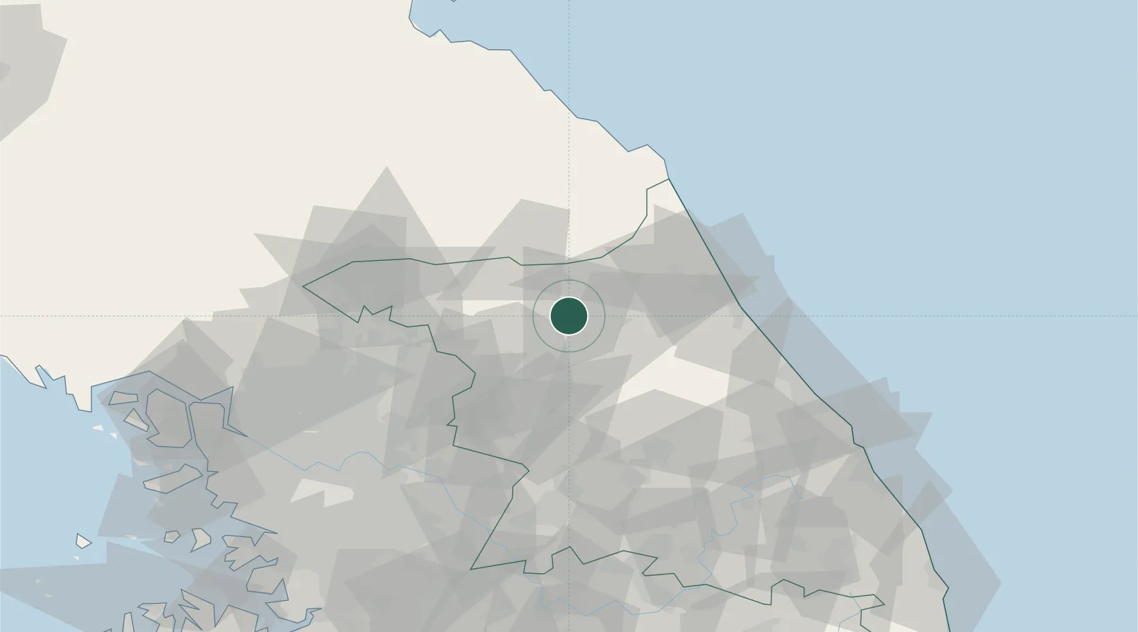
Nearby Logistics Neighbours

Cities
  1. 1Hwacheon-gun25 km
  2. 2Chuncheon33 km
  3. 3Dongducheon44 km
  4. 4Hongcheon-gun47 km
  5. 5Goseong-gun52 km
Nearest neighbours — logibook spatial index (haversine) over the source coordinates
Ports
  1. 1Sokch'o Hang55 km
  2. 2Mukho116 km
  3. 3Tonghae120 km
  4. 4Wonsan127 km
  5. 5Inchon139 km
Nearest neighbours — logibook spatial index (haversine) over the source coordinates
Airports
  1. 1Yangyang International Airport60 km
  2. 2Wonju Airport / Hoengseong Air Base (K-38/K-46)74 km
  3. 3Gangneung Airport (K-18)93 km
  4. 4Seoul Air Base (K-16)106 km
  5. 5Jungwon Air Base/Chungju Airport119 km
Nearest neighbours — logibook spatial index (haversine) over the source coordinates
Trade Zones
  1. 1Gangwon-do Regulation-Free Zone32 km
  2. 2Dongducheon 2 Industrial Complex84 km
  3. 3Nam-myeon Industrial Complex In Yangju89 km
  4. 4Munmak Foreign Investment Zone91 km
  5. 5Geomjun General Industrial Complex91 km
Nearest neighbours — logibook spatial index (haversine) over the source coordinates
DatabookThe Record of Consolidated Knowledge
South Korea beyond logistics?
Browse databook

All Sources

LocationsUN/LOCODE
UN/LOCODE — free
Portsthe NGA World Port Index
Public domain (US gov)
AirportsOurAirports
Public domain
Trade Zonesthe World Bank SEZ database
CC BY 4.0
Trade ZonesOpen Zone Map
CC BY
← South Korea locations