UN/LOCODE hub · South Korea
KRBEN

Boeun-gun

36.4833°, 127.7167°
2
Transport functions

Transport Functions

Rail
Road
UN/LOCODE

Hub Profile

Region
43
GeoNames

Location

Location of KRBEN
Natural Earth 10m (public domain) · 43 · KRBEN · 36.48, 127.72GoogleOSMYandex

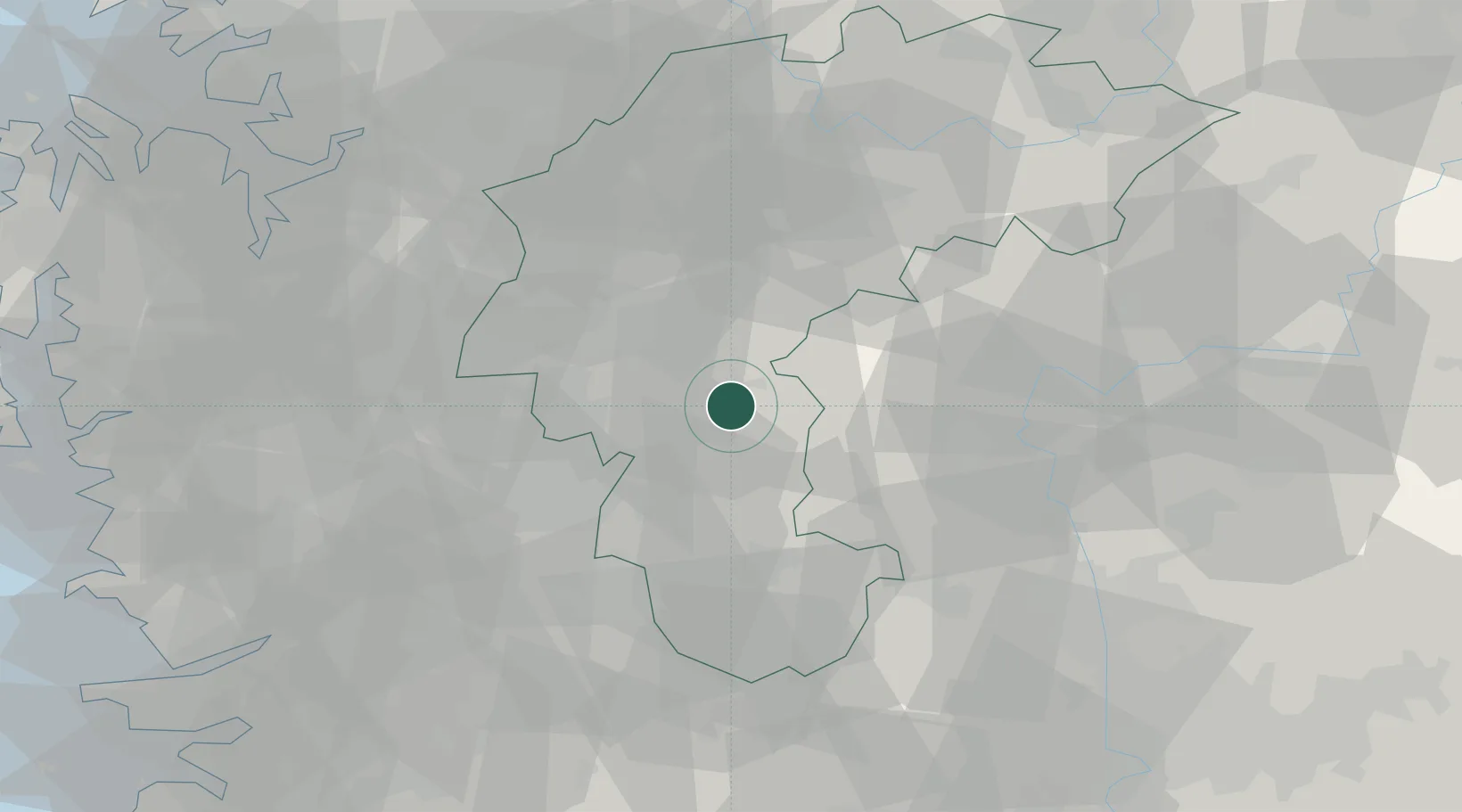
Nearby Logistics Neighbours

Cities
  1. 1Muju-gun11 km
  2. 2Okcheon-gun24 km
  3. 3Cheongju27 km
  4. 4Daejeon27 km
  5. 5Hyeondo-myeon/Cheongwon-gun27 km
Nearest neighbours — logibook spatial index (haversine) over the source coordinates
Ports
  1. 1Pyeongtaek Hang100 km
  2. 2Kunsan113 km
  3. 3Daesan Hang131 km
  4. 4Inchon147 km
  5. 5Pohang157 km
Nearest neighbours — logibook spatial index (haversine) over the source coordinates
Airports
  1. 1Cheongju International Airport/Cheongju Air Base (K-59/G-513)32 km
  2. 2Yecheon Airbase59 km
  3. 3Jungwon Air Base/Chungju Airport63 km
  4. 4Camp Humphreys (A-511) Desiderio Army Airfield81 km
  5. 5Osan Air Base91 km
Nearest neighbours — logibook spatial index (haversine) over the source coordinates
Trade Zones
  1. 1Daejeon Complex-Type Foreign Investment Zone29 km
  2. 2Daejeon 1 General Industrial Complex30 km
  3. 3Chungju General Industrial Complex31 km
  4. 4Cheongju Aeropolis32 km
  5. 5Daejeon City Regulation-Free Zone35 km
Nearest neighbours — logibook spatial index (haversine) over the source coordinates
DatabookThe Record of Consolidated Knowledge
South Korea beyond logistics?
Browse databook

All Sources

LocationsUN/LOCODE
UN/LOCODE — free
Portsthe NGA World Port Index
Public domain (US gov)
AirportsOurAirports
Public domain
Trade Zonesthe World Bank SEZ database
CC BY 4.0
Trade ZonesOpen Zone Map
CC BY
← South Korea locations