UN/LOCODE hub · South Korea
KRHDM

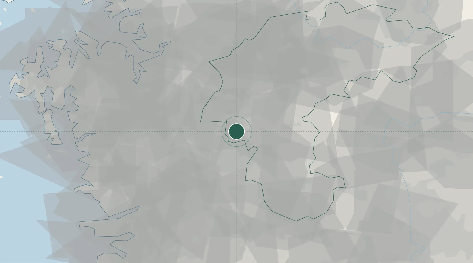
Hyeondo-myeon/Cheongwon-gun

36.4833°, 127.4167°
2
Transport functions

Transport Functions

Road
Multimodal
UN/LOCODE

Hub Profile

Region
43
GeoNames

Location

Location of KRHDM
Natural Earth 10m (public domain) · 43 · KRHDM · 36.48, 127.42GoogleOSMYandex

Nearby Logistics Neighbours

Cities
  1. 1Sint'anjin4 km
  2. 2Shintanjin6 km
  3. 3Daejeon7 km
  4. 4Cheongwon-gun7 km
  5. 5Yeongi-gun9 km
Nearest neighbours — logibook spatial index (haversine) over the source coordinates
Ports
  1. 1Pyeongtaek Hang80 km
  2. 2Kunsan91 km
  3. 3Daesan Hang108 km
  4. 4Inchon130 km
  5. 5Gwangyang Hang178 km
Nearest neighbours — logibook spatial index (haversine) over the source coordinates
Airports
  1. 1Cheongju International Airport/Cheongju Air Base (K-59/G-513)27 km
  2. 2Camp Humphreys (A-511) Desiderio Army Airfield63 km
  3. 3Jungwon Air Base/Chungju Airport74 km
  4. 4Osan Air Base76 km
  5. 5Yecheon Airbase85 km
Nearest neighbours — logibook spatial index (haversine) over the source coordinates
Trade Zones
  1. 1Daejeon Complex-Type Foreign Investment Zone6 km
  2. 2Daejeon 1 General Industrial Complex13 km
  3. 3Daedeok Smart City15 km
  4. 4Yoo Sung International Science and Business Belt15 km
  5. 5Jochiwon General Industrial Complex15 km
Nearest neighbours — logibook spatial index (haversine) over the source coordinates
DatabookThe Record of Consolidated Knowledge
South Korea beyond logistics?
Browse databook

All Sources

LocationsUN/LOCODE
UN/LOCODE — free
Portsthe NGA World Port Index
Public domain (US gov)
AirportsOurAirports
Public domain
Trade Zonesthe World Bank SEZ database
CC BY 4.0
Trade ZonesOpen Zone Map
CC BY
← South Korea locations