UN/LOCODE hub · South Korea
KRTJN
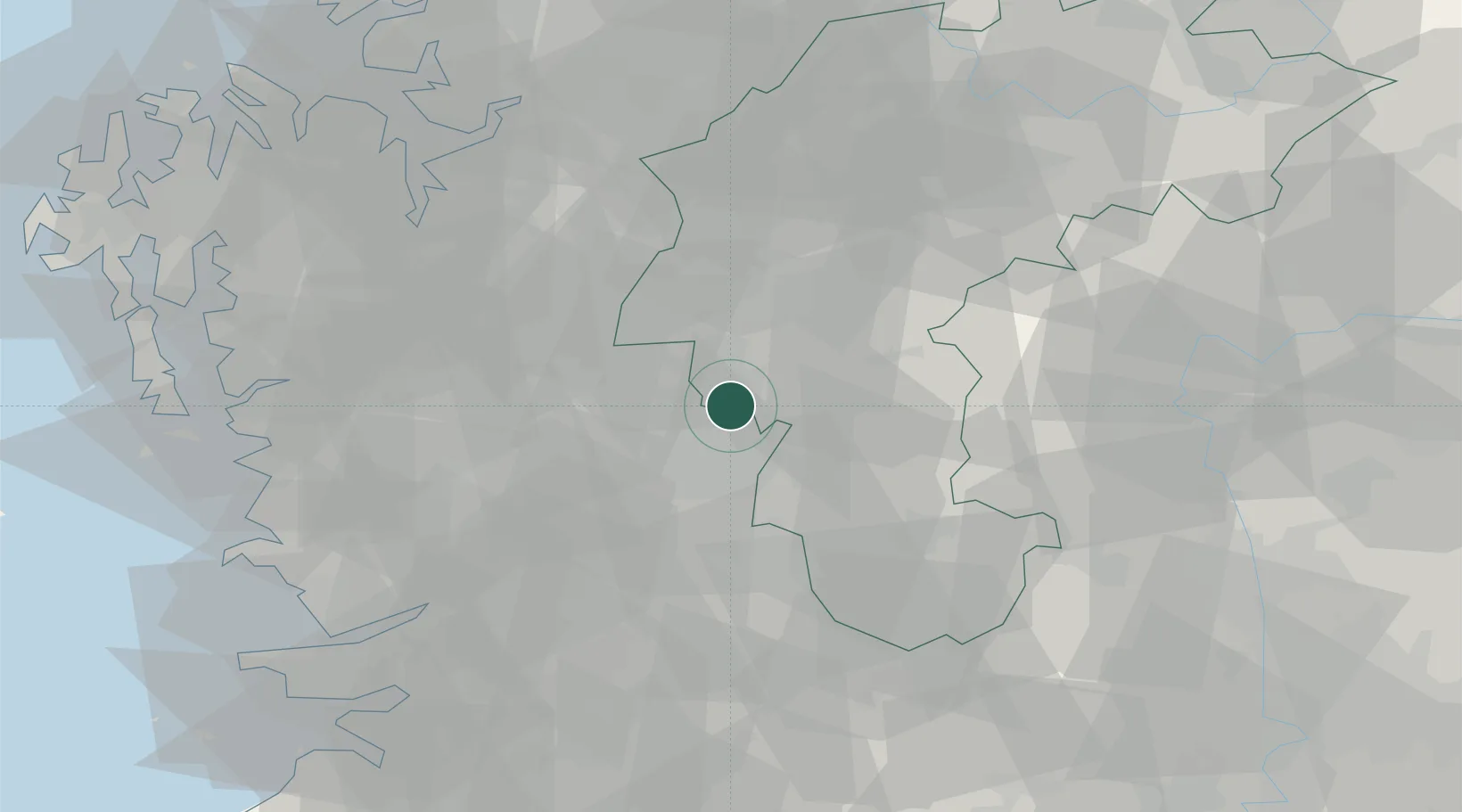
Daejeon
36.4251°, 127.4270°
1,470,336
Population
2
Transport functions
Transport Functions
Rail
Road
Hub Profile
Place type
Regional capital
Region
Daejeon
Population
1,470,336
Time zone
Asia/Seoul
Elevation
58 m
Logistics facilities
1
Location
Nearby Logistics Neighbours
Cities
- 1Shintanjin1 km
- 2Sint'anjin3 km
- 3Hyeondo-myeon/Cheongwon-gun7 km
- 4Cheongwon-gun13 km
- 5Yeongi-gun15 km
Ports
- 1Pyeongtaek Hang85 km
- 2Kunsan88 km
- 3Daesan Hang113 km
- 4Inchon136 km
- 5Gwangyang Hang171 km
Airports
DatabookThe Record of Consolidated Knowledge
South Korea beyond logistics?