Transport Functions
Multimodal
Hub Profile
Region
10
Location
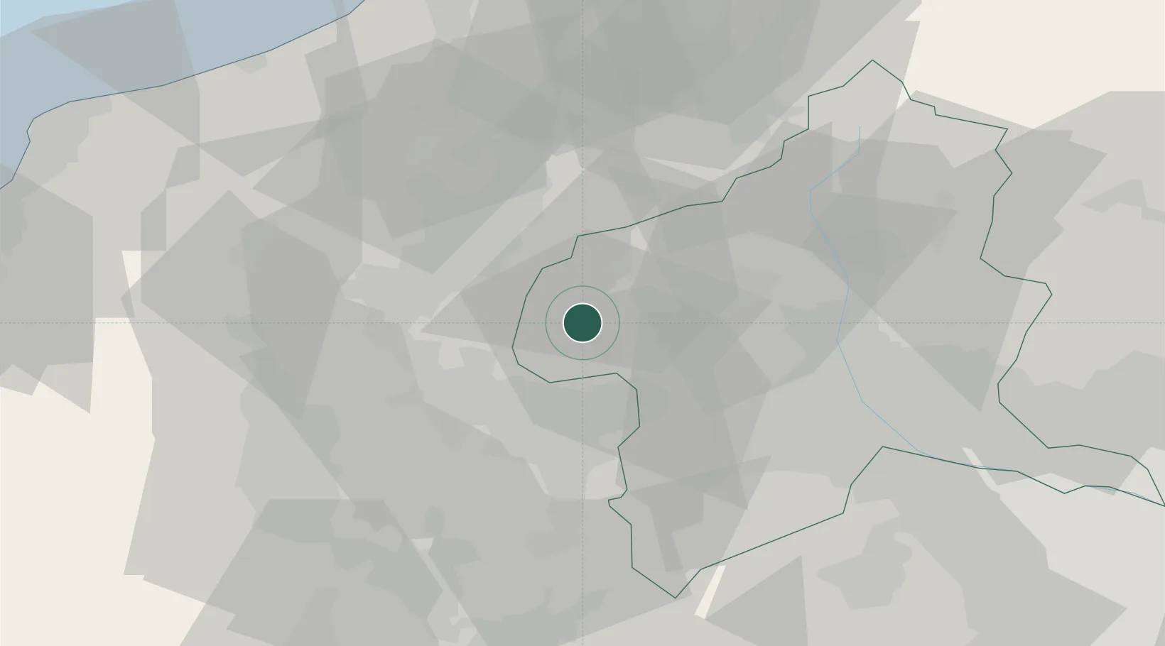
Nearby Logistics Neighbours
Cities
- 1Karuizawa, Nagano20 km
- 2Suzaka23 km
- 3Obuse, Nagano27 km
- 4Saku Nagano34 km
- 5Omachi36 km
Ports
- 1Naoetsu Ko78 km
- 2Himekawa83 km
- 3Kashiwazaki95 km
- 4Fushiki-Toyama127 km
- 5Tokyo Ko146 km
Airports
- 1Shinshu-Matsumoto Airport66 km
- 2Iruma Air Base110 km
- 3Yokota Air Base113 km
- 4Toyama Kitokito Airport120 km
- 5Utsunomiya Airport121 km
Trade Zones
- 1Gunma Environmentally Friendly Livestock Promotion Special Zone41 km
- 2Gunma Cancer Treatment Technology Regional Revitalization Comprehensive Special Zone48 km
- 3Minami-Alps Competitiveness and Sustainability Special Zone101 km
- 4Nagaoka Independent Local Community Creation Special Zone103 km
- 5Saitama Next-Generation Automobile Smart Energy Special Zone123 km
DatabookThe Record of Consolidated Knowledge
Japan beyond logistics?