Transport Functions
Multimodal
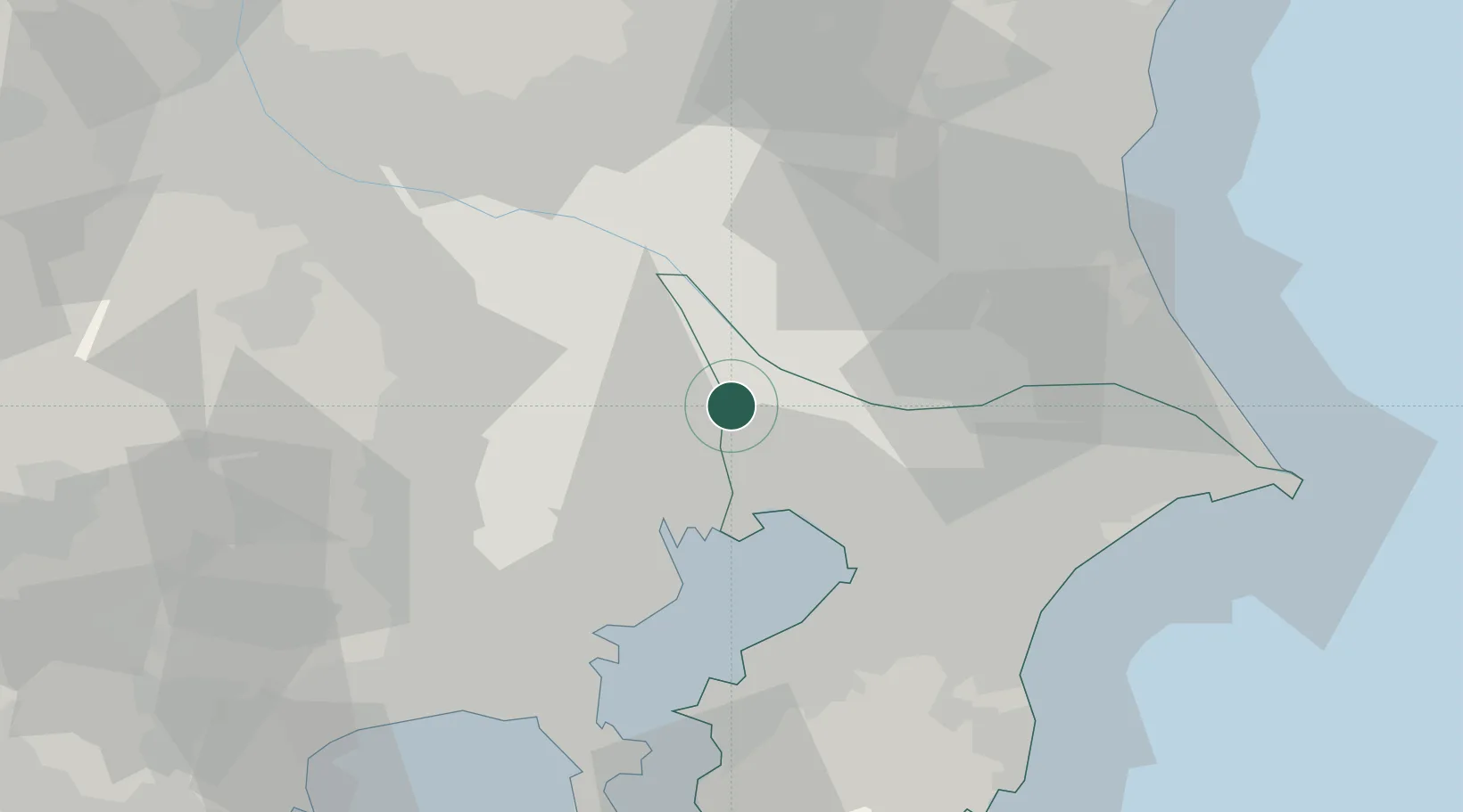
Hub Profile
Place type
Provincial seat
Region
Chiba
Population
200,136
Time zone
Asia/Tokyo
Elevation
15 m
Location
Nearby Logistics Neighbours
Cities
- 1Nagareyama, Chiba2 km
- 2Yashio6 km
- 3Adachi11 km
- 4Noda11 km
- 5Katsushika-Ku13 km
Ports
- 1Funabashi21 km
- 2Tokyo Ko24 km
- 3Chiba Ko34 km
- 4Kawasaki Ko40 km
- 5Yokohama Ko52 km
Airports
- 1JMSDF Shimofusa Air Base13 km
- 2Tokyo Haneda International Airport35 km
- 3Chofu Airport38 km
- 4Iruma Air Base43 km
- 5Narita International Airport47 km
DatabookThe Record of Consolidated Knowledge
Japan beyond logistics?