Transport Functions
Rail
Road
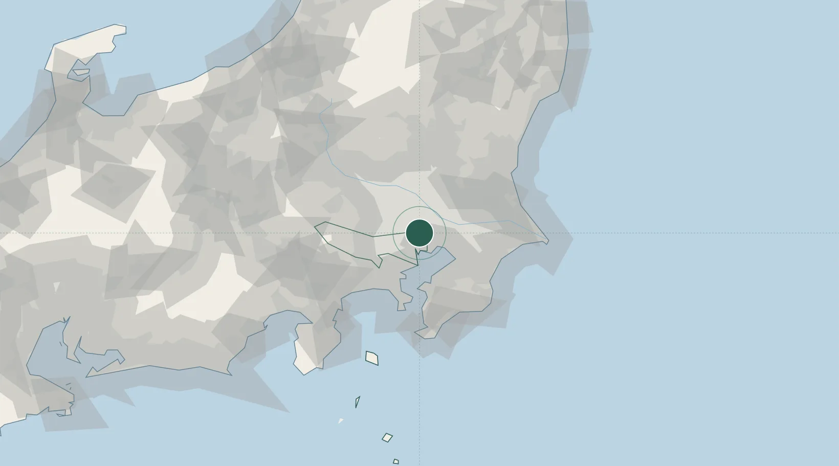
Hub Profile
Place type
Urban district
Region
Tokyo
Population
695,043
Time zone
Asia/Tokyo
Elevation
5 m
Location
Nearby Logistics Neighbours
Cities
- 1Yashio5 km
- 2Katsushika-Ku7 km
- 3Itabashi8 km
- 4Sumida Tokyo9 km
- 5Warabi10 km
Ports
- 1Tokyo Ko14 km
- 2Funabashi19 km
- 3Kawasaki Ko32 km
- 4Chiba Ko33 km
- 5Yokohama Ko42 km
Airports
- 1JMSDF Shimofusa Air Base19 km
- 2Tokyo Haneda International Airport26 km
- 3Chofu Airport28 km
- 4Iruma Air Base36 km
- 5Yokota Air Base41 km
DatabookThe Record of Consolidated Knowledge
Japan beyond logistics?