Transport Functions
Rail
Road
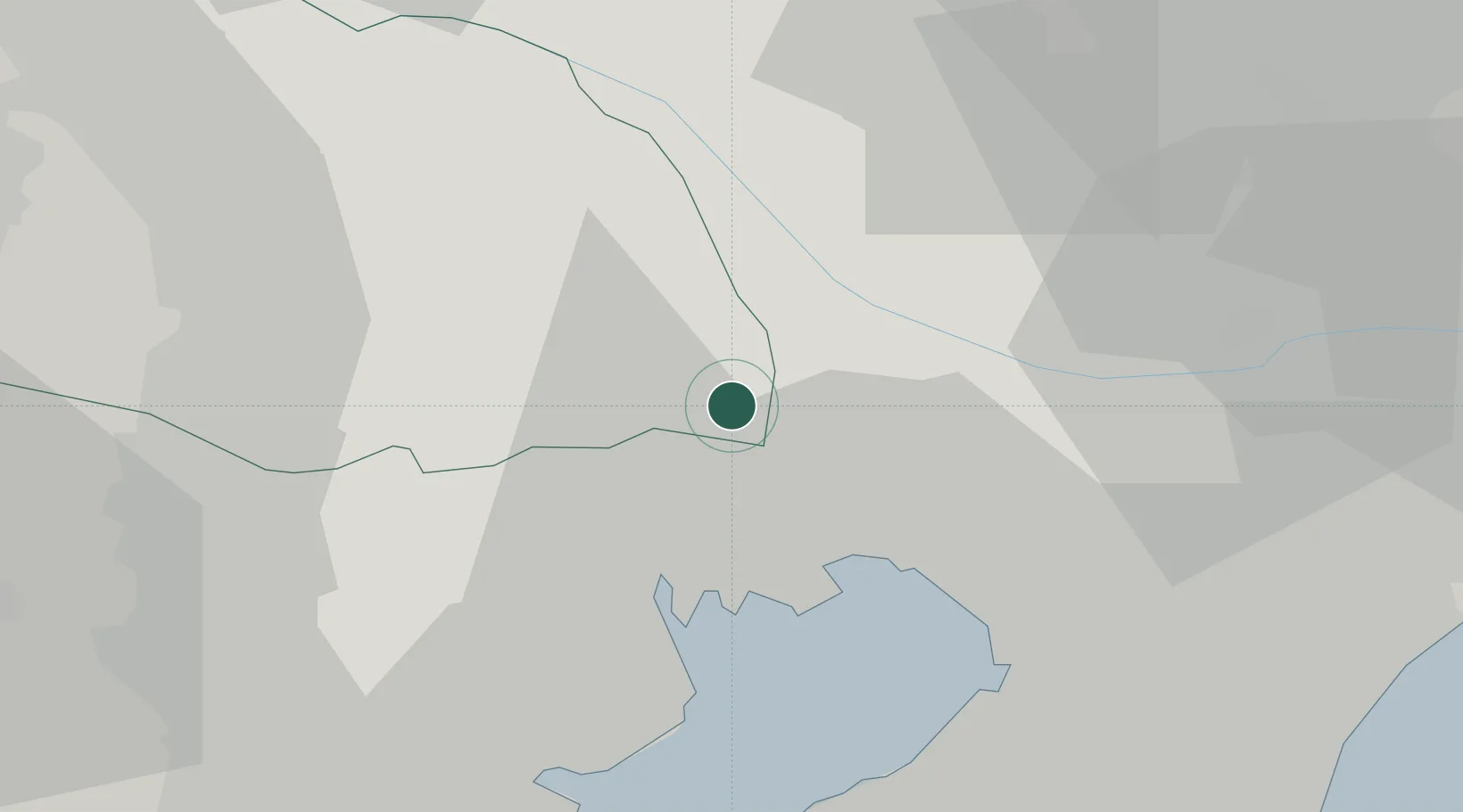
Hub Profile
Place type
Provincial seat
Region
Saitama
Population
93,363
Time zone
Asia/Tokyo
Elevation
8 m
Location
Nearby Logistics Neighbours
Cities
- 1Adachi5 km
- 2Nagareyama6 km
- 3Nagareyama, Chiba7 km
- 4Katsushika-Ku9 km
- 5Warabi12 km
Ports
- 1Tokyo Ko18 km
- 2Funabashi20 km
- 3Chiba Ko33 km
- 4Kawasaki Ko36 km
- 5Yokohama Ko47 km
Airports
- 1JMSDF Shimofusa Air Base16 km
- 2Tokyo Haneda International Airport30 km
- 3Chofu Airport32 km
- 4Iruma Air Base38 km
- 5Yokota Air Base44 km
DatabookThe Record of Consolidated Knowledge
Japan beyond logistics?