UN/LOCODE hub · Japan
JPNOD

Noda

35.9500°, 139.8667°
154,114
Population
2
Transport functions

Transport Functions

Rail
Road
UN/LOCODE

Hub Profile

Place type
Provincial seat
GeoNames
Region
Chiba
GeoNames
Population
154,114
GeoNames
Time zone
Asia/Tokyo
GeoNames
Elevation
17 m
GeoNames

Location

Location of JPNOD
Natural Earth 10m (public domain) · Chiba · JPNOD · 35.95, 139.87GoogleOSMYandex

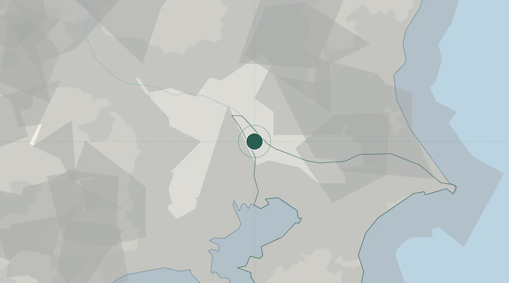
Nearby Logistics Neighbours

Cities
  1. 1Nagareyama11 km
  2. 2Nagareyama, Chiba12 km
  3. 3Inagi12 km
  4. 4Yashio15 km
  5. 5Bando, Ibaraki17 km
Nearest neighbours — logibook spatial index (haversine) over the source coordinates
Ports
  1. 1Funabashi32 km
  2. 2Tokyo Ko33 km
  3. 3Chiba Ko45 km
  4. 4Kawasaki Ko51 km
  5. 5Yokohama Ko61 km
Nearest neighbours — logibook spatial index (haversine) over the source coordinates
Airports
  1. 1JMSDF Shimofusa Air Base21 km
  2. 2Iruma Air Base43 km
  3. 3Chofu Airport44 km
  4. 4Tokyo Haneda International Airport45 km
  5. 5Narita International Airport51 km
Nearest neighbours — logibook spatial index (haversine) over the source coordinates
DatabookThe Record of Consolidated Knowledge
Japan beyond logistics?
Browse databook

All Sources

LocationsUN/LOCODE
UN/LOCODE — free
LocationsGeoNames
CC BY 4.0
Portsthe NGA World Port Index
Public domain (US gov)
AirportsOurAirports
Public domain
Trade Zonesthe World Bank SEZ database
CC BY 4.0
Trade ZonesOpen Zone Map
CC BY
← Japan locations