Transport Functions
Port
Multimodal
Hub Profile
Region
12
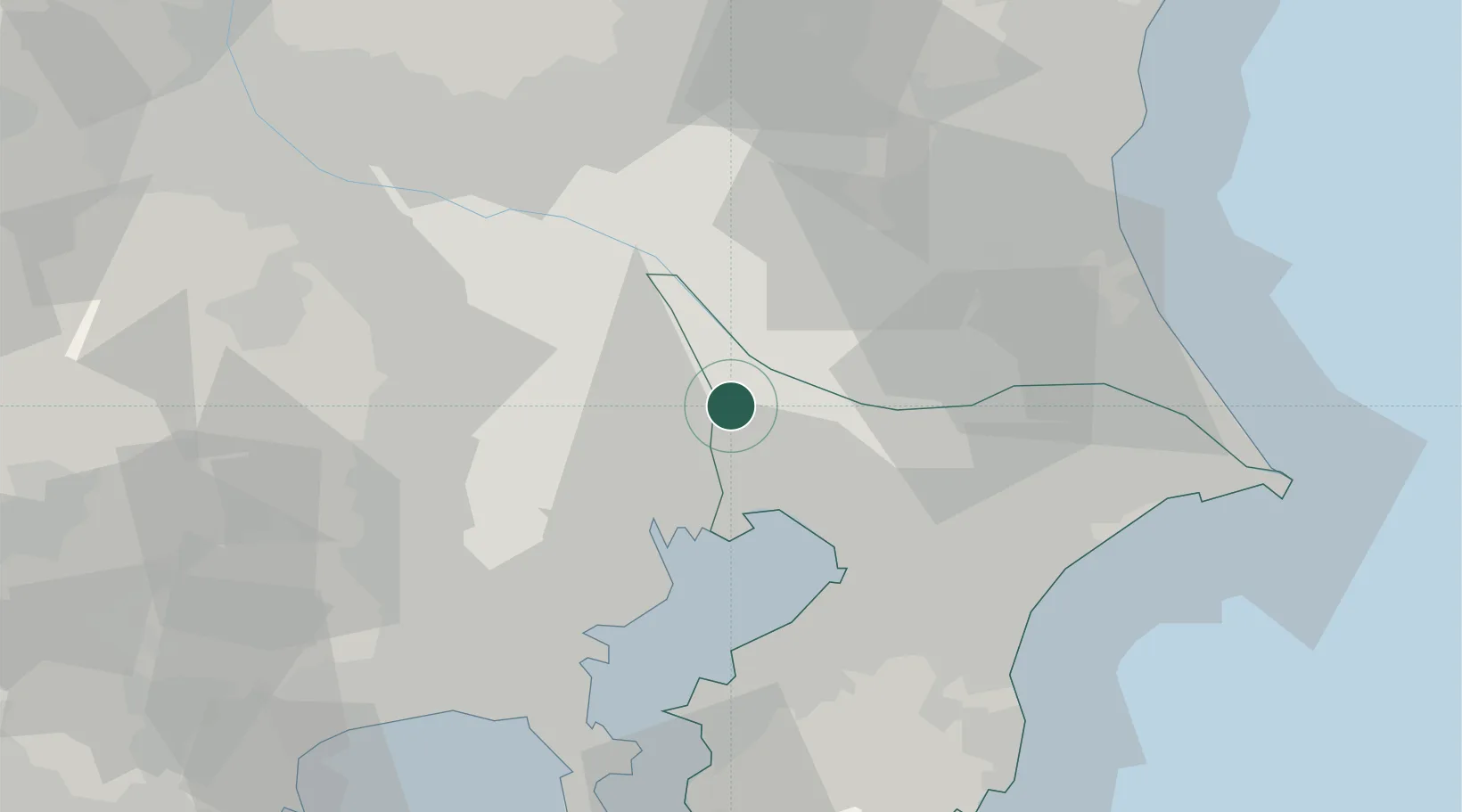
Location
Nearby Logistics Neighbours
Cities
- 1Nagareyama2 km
- 2Yashio7 km
- 3Noda12 km
- 4Adachi12 km
- 5Abiko12 km
Ports
- 1Funabashi21 km
- 2Tokyo Ko25 km
- 3Chiba Ko33 km
- 4Kawasaki Ko41 km
- 5Yokohama Ko53 km
Airports
- 1JMSDF Shimofusa Air Base12 km
- 2Tokyo Haneda International Airport35 km
- 3Chofu Airport39 km
- 4Iruma Air Base44 km
- 5Narita International Airport45 km
DatabookThe Record of Consolidated Knowledge
Japan beyond logistics?