Medium airport · Japan

JMSDF Tateyama Air BaseRJTE
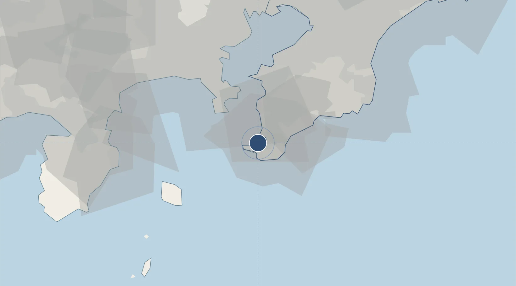
34.9871°, 139.8290°
984 ft
Longest runway
1
Runways
10 ft
Elevation

Runway & Layout

JMSDF Tateyama Air Base runway & taxiway layout
Runway & taxiway layout — OpenStreetMap (ODbL) / OurAirports

Radio Frequencies

TWR
126.2 MHz
APP
119.1 MHz
TOKYO APP
OurAirports

Navaids

PQ NDB Tateyama 373 kHz
PQE VOR-DME Tateyama 112.50 MHz
TET TACAN Tateyama 108.80 MHz
OurAirports

Runways · 1

RunwayDimensions SurfaceTrue headingLit
09/27 984 × 148ft Concrete 085°
OurAirports

Airport Specifications

ICAO code
RJTE
OurAirports
Airport class
Medium airport
OurAirports
Scheduled service
No
OurAirports
Runway surface
Concrete
OurAirports
Served city
Tateyama
OurAirports

Location

Location of RJTE
Natural Earth 10m (public domain) · Chiba · RJTE · 34.99, 139.83GoogleOSMYandex

Nearby Logistics Neighbours

Airports
  1. 1JGSDF Kisarazu Airfield46 km
  2. 2Oshima Airport49 km
  3. 3JMSDF Atsugi Air Base / Naval Air Facility Atsugi62 km
  4. 4Tokyo Haneda International Airport63 km
  5. 5Chofu Airport81 km
Nearest neighbours — logibook spatial index (haversine) over the source coordinates
Cities
  1. 1Yokosuka37 km
  2. 2Nishitokyo39 km
  3. 3Oppama40 km
  4. 4Zushi40 km
  5. 5Naka-Ku, Kanagawa51 km
Nearest neighbours — logibook spatial index (haversine) over the source coordinates
Ports
  1. 1Tateyama Ko3 km
  2. 2Uraga Ko29 km
  3. 3Yokosuka Ko36 km
  4. 4Kisarazu Ko43 km
  5. 5Yokohama Ko56 km
Nearest neighbours — logibook spatial index (haversine) over the source coordinates
DatabookThe Record of Consolidated Knowledge
Japan beyond logistics?
Browse databook

All Sources

AirportsOurAirports
Public domain
Portsthe NGA World Port Index
Public domain (US gov)
LocationsUN/LOCODE
UN/LOCODE — free
Trade Zonesthe World Bank SEZ database
CC BY 4.0
Trade ZonesOpen Zone Map
CC BY
InfrastructureOpenStreetMap
ODbL 1.0
← Japan airports