Transport Functions
Port
Rail
Road
Hub Profile
Region
14
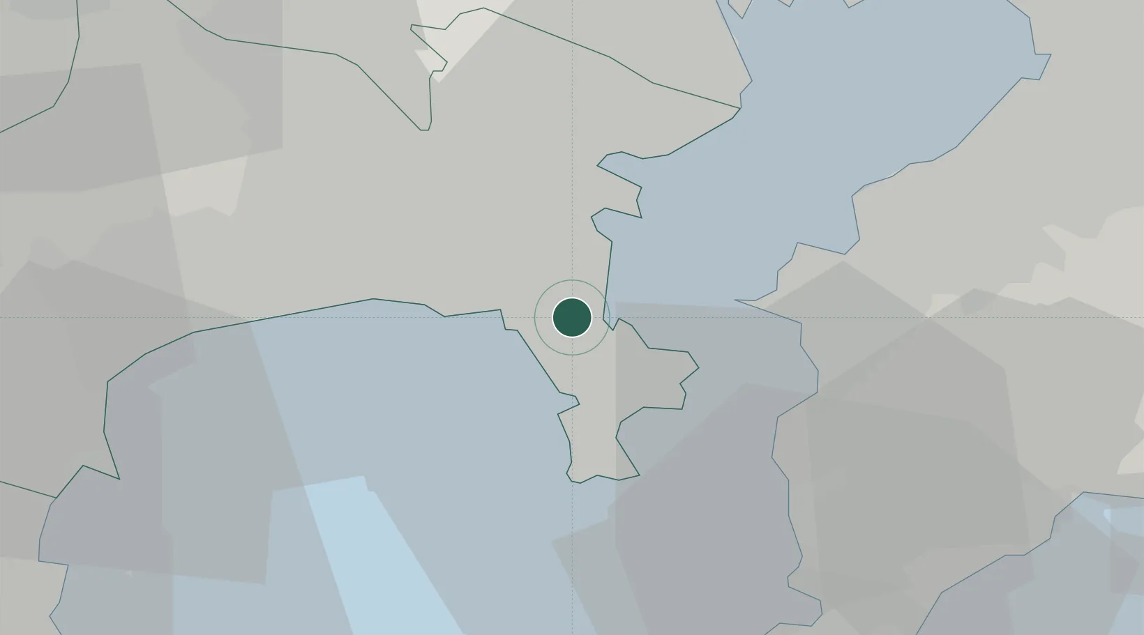
Location
Nearby Logistics Neighbours
Cities
- 1Zushi4 km
- 2Yokosuka5 km
- 3Naka-Ku, Kanagawa13 km
- 4Fujisawa14 km
- 5Yamashitacho15 km
Ports
- 1Yokosuka Ko5 km
- 2Uraga Ko12 km
- 3Yokohama Ko17 km
- 4Kisarazu Ko25 km
- 5Kawasaki Ko26 km
Airports
Trade Zones
DatabookThe Record of Consolidated Knowledge
Japan beyond logistics?