Transport Functions
Port
Rail
Road
Hub Profile
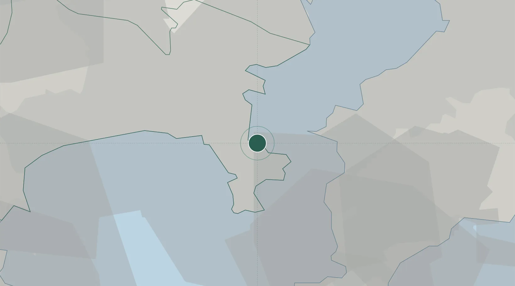
Place type
Provincial seat
Region
Kanagawa
Population
409,478
Time zone
Asia/Tokyo
Elevation
9 m
Logistics facilities
1
Location
Nearby Logistics Neighbours
Cities
- 1Oppama5 km
- 2Zushi8 km
- 3Naka-Ku, Kanagawa14 km
- 4Yamashitacho16 km
- 5Yokohama17 km
Ports
- 1Uraga Ko8 km
- 2Yokohama Ko19 km
- 3Kisarazu Ko21 km
- 4Kawasaki Ko25 km
- 5Tateyama Ko34 km
Airports
Trade Zones
DatabookThe Record of Consolidated Knowledge
Japan beyond logistics?