Channel & Berth Profile
Pilotage, Tugs & Services
Pilotage compulsoryNO
Pilotage availableYES
Pilotage advisableYES
Tug assistanceYES
Potable waterYES
Facilities & Capabilities
Container—
Ro-Ro—
Liquid bulk—
Dry bulk—
Oil terminal—
Break bulk—
Dry dock—
RepairsNO
BunkeringYES
Rail link—
Dangerous cargo—
ISPS security—
Harbour Specifications
Harbour size
Very Small
Harbour type
Coastal (Breakwater)
Shelter
Poor
Water body
Sea of Japan; North Pacific Ocean
Tidal range
2 m
Pilotage
No
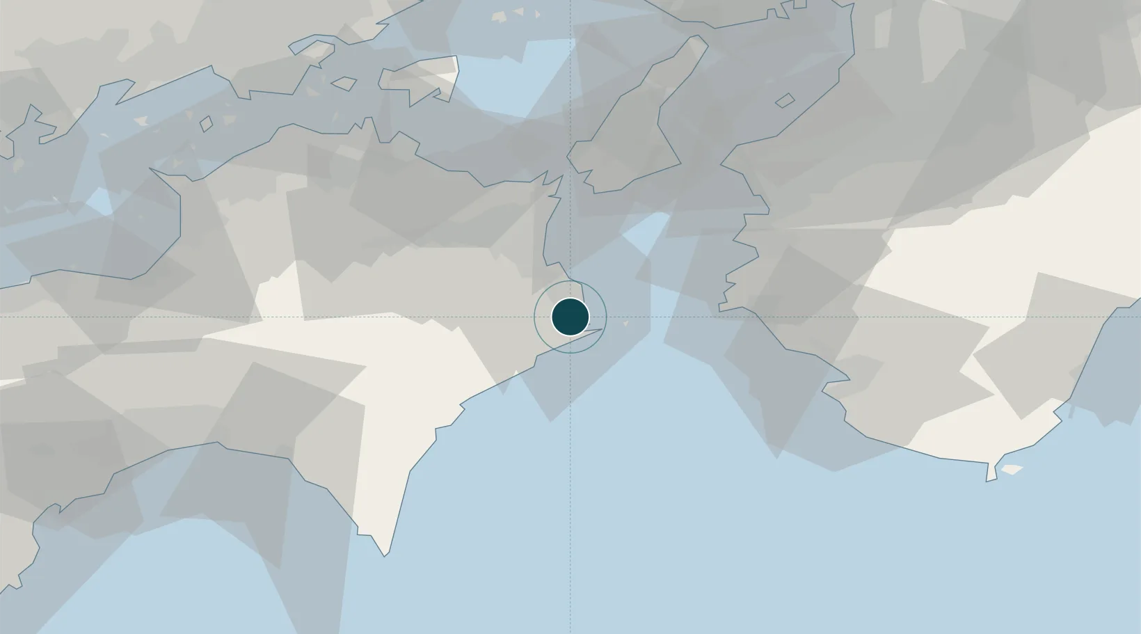
Location
Nearby Logistics Neighbours
Ports
- 1Komatsushima18 km
- 2Yura41 km
- 3Wakayama-Shimotsu Ko57 km
- 4Tanabe Ko67 km
- 5Takamatsu78 km
Cities
- 1Komatsushima15 km
- 2Tokushima23 km
- 3Kamikatsu, Tokushima25 km
- 4Kamiita, Tokushima37 km
- 5Yoshinogawa Tokushima42 km
Airports
Trade Zones
- 1Tokushima life innovation Comprehensive Special Zone28 km
- 2Awaji Environmental Future Island Special Zone57 km
- 3Takamatsu Compact Eco-City Special Zone76 km
- 4Rinku Town Izumisano City Area Regional Revitalization Comprehensive Special Zone83 km
- 5Wakayama Prefecture "Takano Kumano" Cultural and Regional Promotion Comprehensive Special Zone93 km
DatabookThe Record of Consolidated Knowledge
Japan beyond logistics?