UN/LOCODE hub · Japan
JPFJD

Fujieda, Shizuoka

34.8833°, 138.2333°
2
Transport functions

Transport Functions

Rail
Road
UN/LOCODE

Hub Profile

Region
22
GeoNames

Location

Location of JPFJD
Natural Earth 10m (public domain) · 22 · JPFJD · 34.88, 138.23GoogleOSMYandex

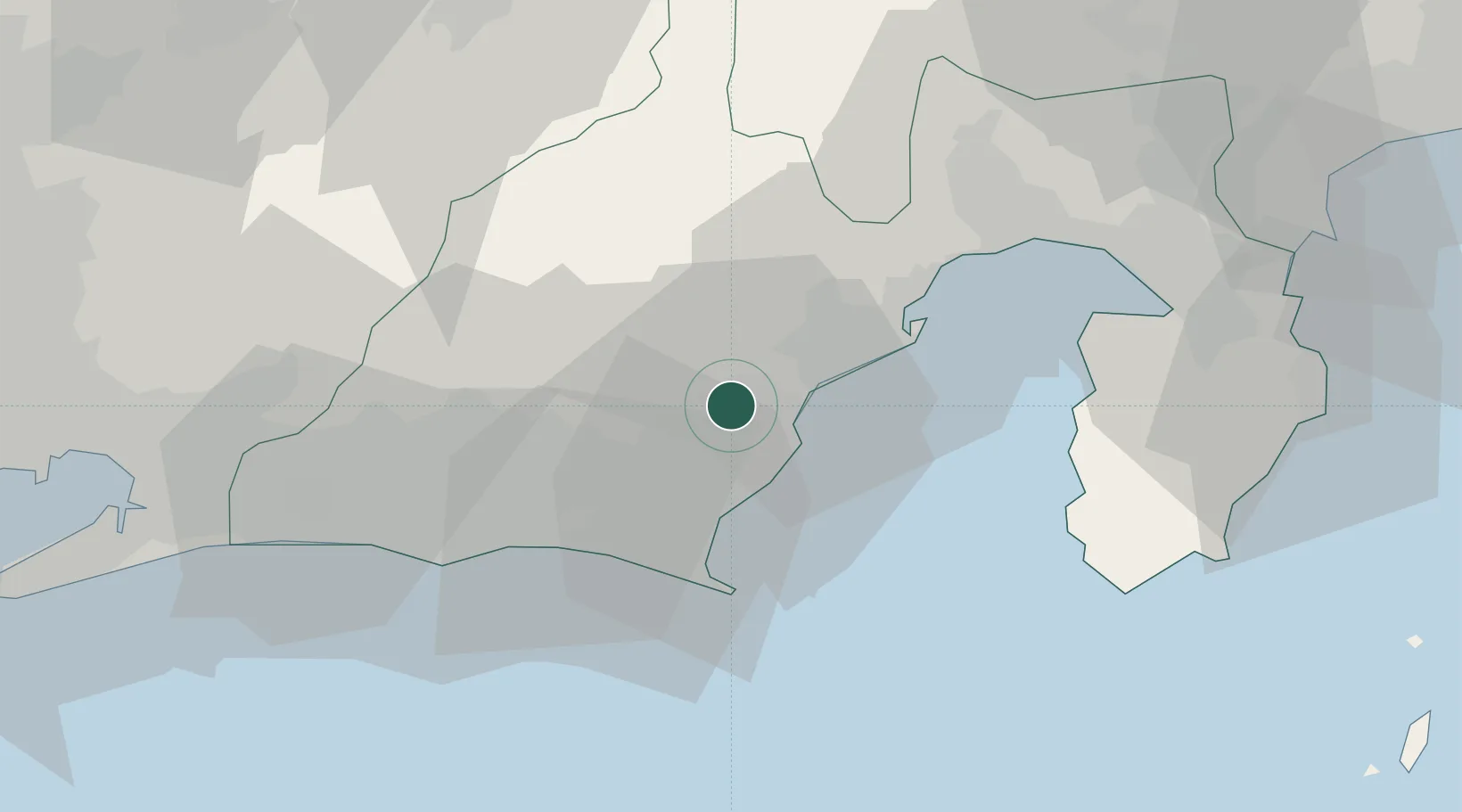
Nearby Logistics Neighbours

Cities
  1. 1Shimada7 km
  2. 2Makinohara13 km
  3. 3Omaezaki29 km
  4. 4Shimizu31 km
  5. 5Fukuroi33 km
Nearest neighbours — logibook spatial index (haversine) over the source coordinates
Ports
  1. 1Shimizu Ko29 km
  2. 2Omaezaki Ko32 km
  3. 3Tagonoura Ko51 km
  4. 4Shimoda Ko70 km
  5. 5Mikawa87 km
Nearest neighbours — logibook spatial index (haversine) over the source coordinates
Airports
  1. 1JASDF Shizuhama Air Base10 km
  2. 2Mount Fuji Shizuoka Airport11 km
  3. 3JASDF Hamamatsu Air Base51 km
  4. 4Oshima Airport103 km
  5. 5Niijima Airport111 km
Nearest neighbours — logibook spatial index (haversine) over the source coordinates
DatabookThe Record of Consolidated Knowledge
Japan beyond logistics?
Browse databook

All Sources

LocationsUN/LOCODE
UN/LOCODE — free
Portsthe NGA World Port Index
Public domain (US gov)
AirportsOurAirports
Public domain
Trade Zonesthe World Bank SEZ database
CC BY 4.0
Trade ZonesOpen Zone Map
CC BY
← Japan locations