Export Processing Zone · Japan
Hamamatsu Future Creation Special Zone Active
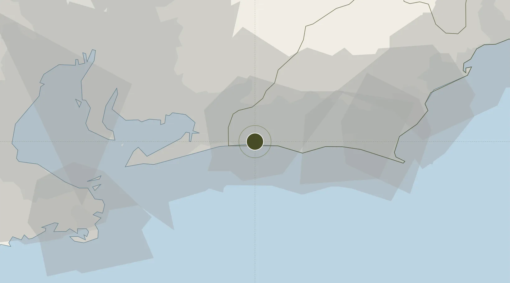
34.6895°, 137.5838°
34 ha
Zone area
26.1 km
Nearest port
12.8 km
Nearest airport
Gateway access
Zone profile
Zone type
Export Processing Zone
Region
Shizuoka
Status
Active
Management
Public
Operator
Hamamatsu City
Legal framework
National Government Regional Revitalization Comprehensive Special Zone Designation
Location
Nearby Logistics Neighbours
Ports
- 1Mikawa26 km
- 2Gamagori Ko36 km
- 3Atsumi47 km
- 4Omaezaki Ko60 km
- 5Kinuura Ko61 km
Airports
Trade Zones
- 1Toyota Next Generation Energy and Mobility Creation Special Zone63 km
- 2Aichi Prefecture Strategic Special Zone65 km
- 3Asias No. 1 Aerospace Industry Cluster Formation Special Zone75 km
- 4Fuji-no-kuni Disaster Mitigation Regional Growth Model Comprehensive Special Zone79 km
- 5Fuji-no-Kuni Advanced Medical Special Zone129 km
DatabookThe Record of Consolidated Knowledge
Japan beyond logistics?