Transport Functions
Port
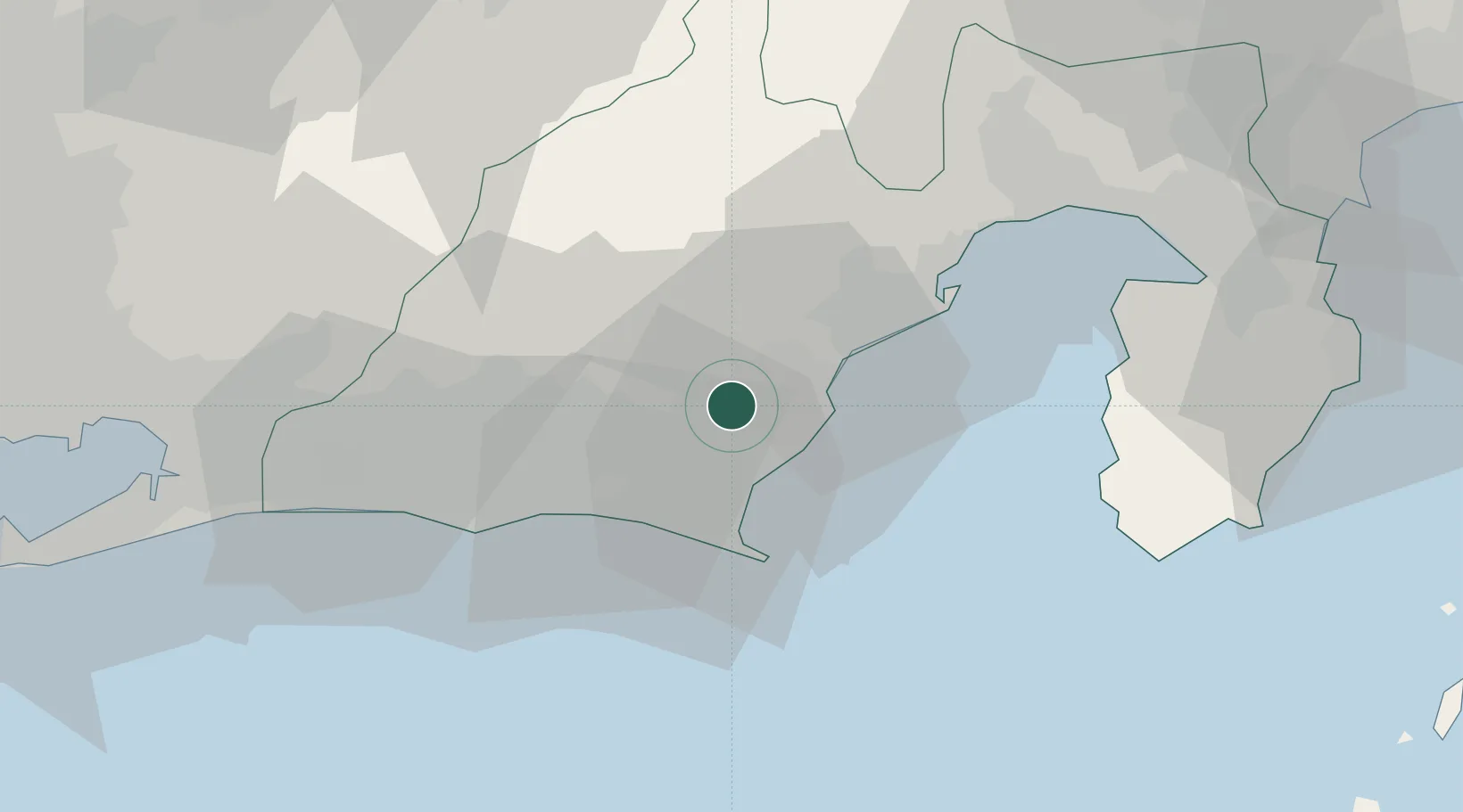
Hub Profile
Place type
Provincial seat
Region
Shizuoka
Population
95,719
Time zone
Asia/Tokyo
Elevation
105 m
Location
Nearby Logistics Neighbours
Cities
- 1Makinohara6 km
- 2Fujieda, Shizuoka7 km
- 3Omaezaki23 km
- 4Fukuroi26 km
- 5Shimizu38 km
Ports
- 1Omaezaki Ko26 km
- 2Shimizu Ko35 km
- 3Tagonoura Ko58 km
- 4Shimoda Ko73 km
- 5Mikawa82 km
Airports
- 1Mount Fuji Shizuoka Airport4 km
- 2JASDF Shizuhama Air Base11 km
- 3JASDF Hamamatsu Air Base45 km
- 4Oshima Airport108 km
- 5Niijima Airport112 km
DatabookThe Record of Consolidated Knowledge
Japan beyond logistics?