UN/LOCODE hub · Japan
JPKWS
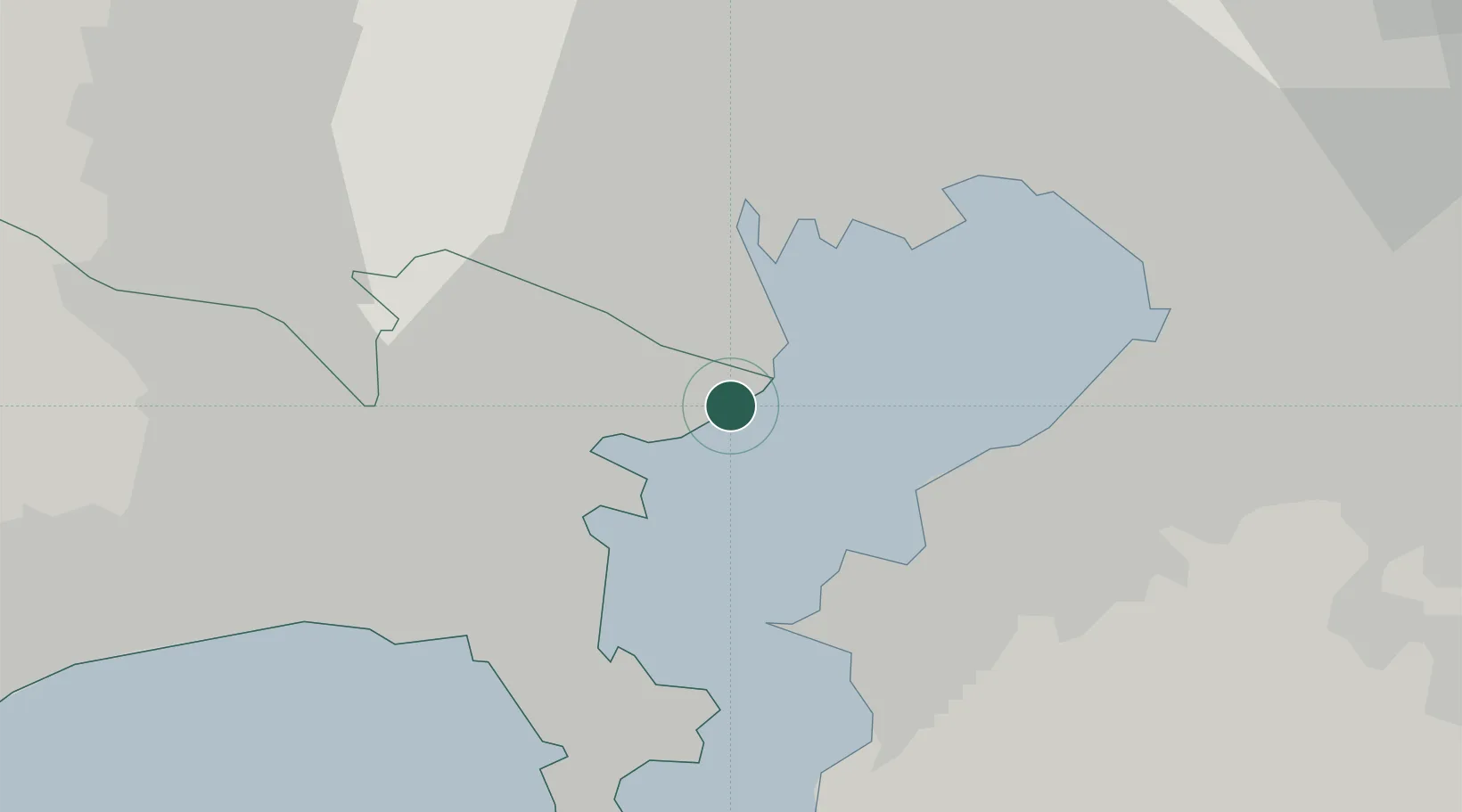
Kawasaki
35.4900°, 139.7533°
1,538,262
Population
1
Transport functions
1
Container terminals
Transport Functions
Port
Hub Profile
Place type
Provincial seat
Region
Kanagawa
Population
1,538,262
Time zone
Asia/Tokyo
Elevation
1 m
Logistics facilities
4
Container terminals
1
Location
Nearby Logistics Neighbours
Cities
- 1Asahimachi7 km
- 2Tsurumi-Ku8 km
- 3Yokohama9 km
- 4Ota-Ku9 km
- 5Yamashitacho11 km
Ports
- 1Yokohama Ko16 km
- 2Kisarazu Ko18 km
- 3Tokyo Ko20 km
- 4Yokosuka Ko24 km
- 5Funabashi27 km
Airports
Trade Zones
DatabookThe Record of Consolidated Knowledge
Japan beyond logistics?