Diversified Zone · Iran

Astara Port Special Economic Zone Active
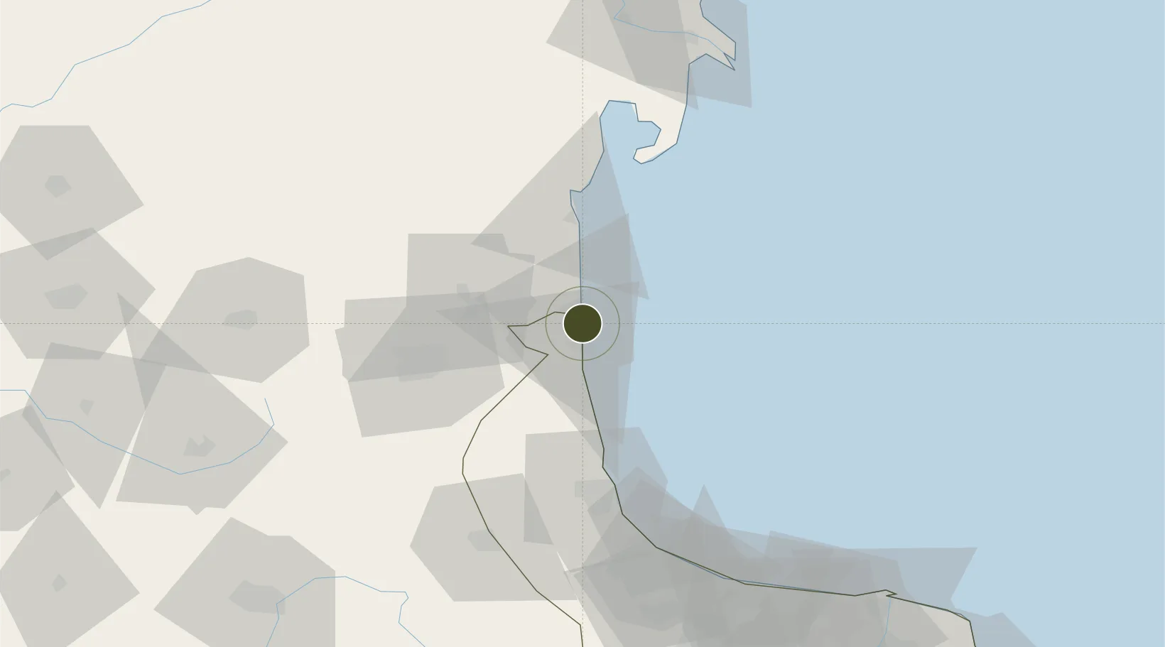
38.4049°, 48.8749°
61 ha
Zone area
712.8 km
Nearest port
39.7 km
Nearest airport

Gateway access

Nearest neighbours — logibook spatial index (haversine) over the source coordinates

Zone profile

Zone type
Diversified Zone
Open Zone Map
Region
Gilan
Open Zone Map
Status
Active
Open Zone Map
Management
Public-Private Partnership
Open Zone Map
Operator
Kaveh Port and Marine Services Company
Open Zone Map
Legal framework
Law on the Administration of Free Trade-Industrial Zones of the Islamic Republic of Iran
Open Zone Map

Location

Location of ozm-2468
Natural Earth 10m (public domain) · Gilan · ozm-2468 · 38.40, 48.87GoogleOSMYandex

Nearby Logistics Neighbours

Ports
  1. 1Batumi713 km
  2. 2Hopa720 km
  3. 3Supsa Marine Terminal733 km
  4. 4Rize773 km
  5. 5Trabzon831 km
Nearest neighbours — logibook spatial index (haversine) over the source coordinates
Airports
  1. 1Lankaran International Airport40 km
  2. 2Ardabil Airport40 km
  3. 3Qizilagach Air Base67 km
  4. 4Sardar-e-Jangal Airport137 km
  5. 5Parsabad-Moghan Airport159 km
Nearest neighbours — logibook spatial index (haversine) over the source coordinates
Cities
  1. 1Astara5 km
  2. 2Bandar-e Anzali117 km
  3. 3Shirvan168 km
  4. 4Alat178 km
  5. 5Zanjan197 km
Nearest neighbours — logibook spatial index (haversine) over the source coordinates
Trade Zones
  1. 1Namin Special Economic Zone36 km
  2. 2Masalli Industrial Estate73 km
  3. 3Neftchala Industrial Estate115 km
  4. 4Anzali Trade Industrial Free Zone127 km
  5. 5Sistan Special Economic Zone169 km
Nearest neighbours — logibook spatial index (haversine) over the source coordinates
DatabookThe Record of Consolidated Knowledge
Iran beyond logistics?
Browse databook

All Sources

Trade ZonesOpen Zone Map
CC BY
Portsthe NGA World Port Index
Public domain (US gov)
AirportsOurAirports
Public domain
LocationsUN/LOCODE
UN/LOCODE — free
← Iran trade zones