Medium airport · Iran
Ardabil AirportOITL
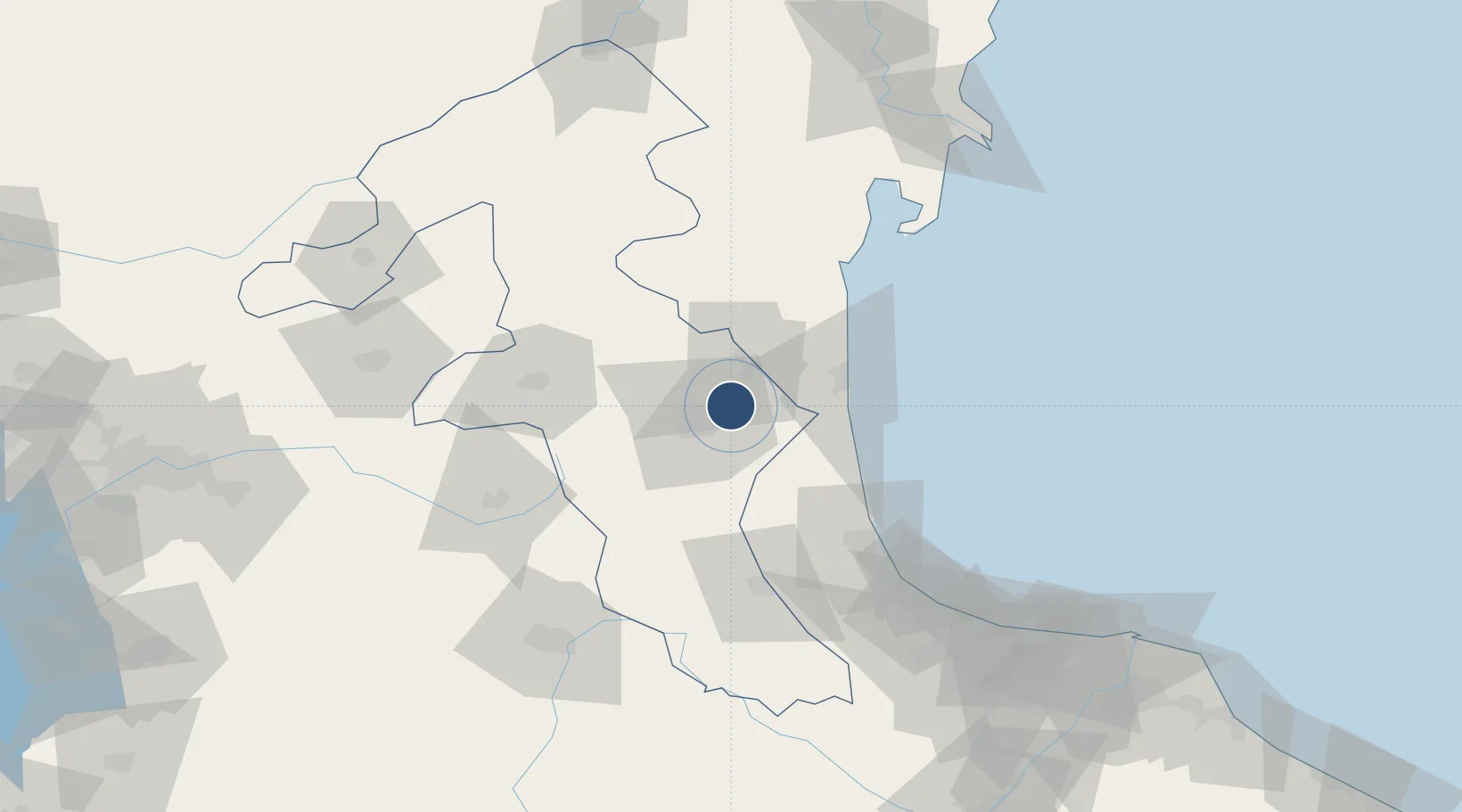
38.3257°, 48.4244°
10,823 ft
Longest runway
1
Runways
4,315 ft
Elevation
Runway & Layout

Radio Frequencies
ATIS
126.65 MHz
AFIS
118.15 MHz
INFO
Navaids
ARB VOR-DME Ardabil 115.70 MHz
ARB NDB Ardabil 355 kHz
Runways · 1
| Runway | Dimensions | Surface | True heading | Lit |
|---|---|---|---|---|
| 15/33 | 10,823 × 148ft | Asphalt / concrete | 150° | ✓ |
Airport Specifications
IATA code
ADU
ICAO code
OITL
Airport class
Medium airport
Scheduled service
Yes
Runway surface
Asphalt / concrete
Served city
Ardabil
Location
Nearby Logistics Neighbours
Airports
- 1Lankaran International Airport59 km
- 2Qizilagach Air Base83 km
- 3Parsabad-Moghan Airport150 km
- 4Sardar-e-Jangal Airport153 km
- 5Zanjan Airport173 km
Cities
- 1Astara41 km
- 2Bandar-e Anzali132 km
- 3Shirvan182 km
- 4Zanjan185 km
- 5Alat199 km
Ports
- 1Batumi685 km
- 2Hopa691 km
- 3Supsa Marine Terminal707 km
- 4Rize742 km
- 5Trabzon799 km
Trade Zones
DatabookThe Record of Consolidated Knowledge
Iran beyond logistics?