Diversified Zone · Iran

Namin Special Economic Zone Active
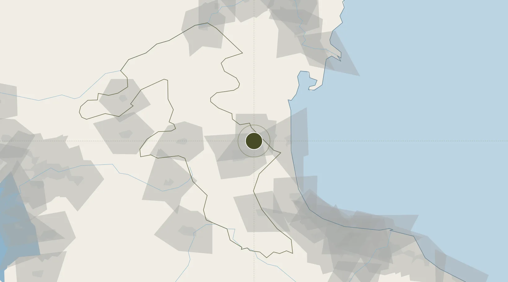
38.4235°, 48.4628°
2,000 ha
Zone area
681.7 km
Nearest port
11.4 km
Nearest airport

Gateway access

Nearest neighbours — logibook spatial index (haversine) over the source coordinates

Zone profile

Zone type
Diversified Zone
Open Zone Map
Region
Ardebil
Open Zone Map
Status
Active
Open Zone Map
Management
Public
Open Zone Map
Operator
Iran Public Warehouses and Customs Services Company
Open Zone Map
Legal framework
Law of Establishment and Administration of Special Economic Zones of Islamic Republic of Iran
Open Zone Map

Location

Location of ozm-2491
Natural Earth 10m (public domain) · Ardebil · ozm-2491 · 38.42, 48.46GoogleOSMYandex

Nearby Logistics Neighbours

Ports
  1. 1Batumi682 km
  2. 2Hopa688 km
  3. 3Supsa Marine Terminal703 km
  4. 4Rize740 km
  5. 5Trabzon797 km
Nearest neighbours — logibook spatial index (haversine) over the source coordinates
Airports
  1. 1Ardabil Airport11 km
  2. 2Lankaran International Airport48 km
  3. 3Qizilagach Air Base71 km
  4. 4Parsabad-Moghan Airport141 km
  5. 5Sardar-e-Jangal Airport159 km
Nearest neighbours — logibook spatial index (haversine) over the source coordinates
Cities
  1. 1Astara35 km
  2. 2Bandar-e Anzali138 km
  3. 3Shirvan171 km
  4. 4Alat188 km
  5. 5Quba194 km
Nearest neighbours — logibook spatial index (haversine) over the source coordinates
Trade Zones
  1. 1Astara Port Special Economic Zone36 km
  2. 2Masalli Industrial Estate71 km
  3. 3Neftchala Industrial Estate128 km
  4. 4Anzali Trade Industrial Free Zone151 km
  5. 5Sabirabad Industrial Estate173 km
Nearest neighbours — logibook spatial index (haversine) over the source coordinates
DatabookThe Record of Consolidated Knowledge
Iran beyond logistics?
Browse databook

All Sources

Trade ZonesOpen Zone Map
CC BY
Portsthe NGA World Port Index
Public domain (US gov)
AirportsOurAirports
Public domain
LocationsUN/LOCODE
UN/LOCODE — free
← Iran trade zones